
Did you know? A safer neighbourhood is not always created by widening a road. Sometimes it begins with the way a driver slows down near a bend, gives another person enough space or recognises that a residential street is being shared with children and older residents. Bukit Timah’s local plans include expanding an initiative called Be Kind, Drive Safe to Kheam Hock Road and Sunset Way Estate.
Quick answer, checked 25 October 2026: Holland-Bukit Panjang Town Council’s April 2025 Bukit Timah future-plan publication lists expansion of the Be Kind, Drive Safe scheme to Kheam Hock Road and Sunset Way Estate. The same plan separately proposes widening the waiting space at the Kheam Hock Road–Dunearn Road junction. These are published local intentions, but the document does not establish a final set of signs, a 2027 scheme-completion date or completed traffic works at every listed location. See the original 2025 future-plan list.
Why put road safety at the centre of an estate’s future?
A residential street is different from an expressway. People enter and leave driveways, walk from homes to bus stops, pause at crossings and sometimes pass parked vehicles near narrow junctions. Even when everyone is following ordinary road rules, the physical environment can create uncertainty.
The shared risk grows when road users have different speeds and different abilities to see one another. A driver behind a parked vehicle may not immediately see a person stepping into view. A child can find the distance and speed of an approaching vehicle hard to judge. A senior may need more time to cross.
A useful road-safety initiative therefore encourages predictable behaviour and reduces points of conflict. Courtesy helps, but it does not replace legally required speed limits, safe crossings or proper engineering.
What is confirmed about Be Kind, Drive Safe?
The town council’s Bukit Timah future plans explicitly names the programme and two expansion locations: Kheam Hock Road and Sunset Way Estate. Those locations are worth tracking independently rather than collapsing them into an unverified single construction project.
A programme can contain communications, community participation and physical safety elements. However, the 2025 list does not specify which road signs, physical barriers, cameras or traffic-calming features will be installed at each point, so this guide will not invent such an inventory.
If a resident sees a safety poster, that might show that an engagement campaign has reached the estate. It does not prove a related road-reconfiguration project has received engineering approval or has been completed.
The separate Kheam Hock–Dunearn junction proposal
The same source mentions widening the waiting space at the traffic area of the Kheam Hock Road and Dunearn Road junction. This is different from the branded road-safety scheme, even though the two address pedestrian safety around the same general area.
At a junction, waiting space matters because people need to stand somewhere visible and protected while the traffic signal cycles. A narrow refuge or cramped landing can be uncomfortable if two walkers meet, or if someone uses a stroller, cane or wheelchair.
Yet a widened waiting area only delivers its intended benefit when users can reach it safely, understand where to stand and follow the actual signals. It should not be confused with a new pedestrian bridge or an automatically changed traffic-light timing.
A first-principles explanation: what makes a crossing safer?
Three elements interact. First is exposure: how long the pedestrian is near moving vehicles. Second is visibility: whether people can see and be seen before entering a conflict area. Third is predictability: whether drivers and pedestrians understand what everyone is supposed to do.
Consider a simple example. If a pedestrian can wait behind a clear boundary, see the pedestrian signal and cross on a marked route, the decisions involved are easier to understand. If the landing is crowded, a parked vehicle blocks the view or people use an informal shortcut, uncertainty rises.
A road-safety campaign can help by reinforcing behaviour. A physical improvement can help by making safer behaviour easier. The strongest outcome may require both, but exactly which improvements are suitable must be decided by the relevant road authorities.
What the 2026–2027 timeline really says
- April 2025: the Bukit Timah future-plan book lists expansion of Be Kind, Drive Safe to Kheam Hock Road and Sunset Way Estate.
- April 2025: the same source lists proposed widening of the waiting space at the Kheam Hock–Dunearn junction.
- 2026: these remain traceable local planning items; the cited publication does not provide a verified single completion date for both works.
- 2027: residents should monitor actual rollout notices, changes to junction waiting areas, signs and road-use arrangements.
- When completed: success should be checked in real daily conditions, not measured solely by the date a programme was announced.
Why Kheam Hock Road and Sunset Way deserve separate local checks
Although both appear in one future-plan entry, they are not the same street. They have different intersections, residential patterns, pedestrian movements and likely sources of potential conflict. A change appropriate in one area might be unsuitable elsewhere.
For example, a location with people walking to a bus stop may need careful attention to pavement continuity and crossing visibility. Another street with frequent driveway movements may need improved sightlines and courteous driver behaviour. These are illustrations of planning problems, not claims of recorded incidents at either named location.
A resident giving feedback should identify the specific point on the street and describe what happens there, rather than claiming the entire estate is dangerous without evidence.
What families can do even before any new feature is installed
- Choose marked crossings: do not take a shorter informal route through moving traffic merely because the destination seems close.
- Build time into the school run: rushing makes it harder to observe approaching vehicles and follow signals.
- Teach visibility: children should not assume a driver has seen them, particularly when parked vehicles obscure the view.
- Keep footpaths clear: avoid leaving items or parking in ways that obstruct pedestrian access.
- Observe safe turning: drivers must watch for people near junctions, entrances and low-speed residential roads.
- Report specific hazards: give the road name, junction, issue and time instead of spreading an unverified account online.
How this connects to other accessibility projects
Bukit Timah’s local plan also includes a Binjai-area pedestrian overhead bridge and accessible lifts, with lift installation described as progressive from 2026. The bridge is an infrastructure project, not another name for Be Kind, Drive Safe. Our Binjai bridge and step-free access article separates the respective milestones.
URA also studies changes to surrounding main roads as Turf City transforms, including Dunearn Road, Eng Neo Avenue and Bukit Timah Road. Those are wider transport-capacity and accessibility questions. Read the broader road-plan guide.
Thinking about these projects together reveals a key lesson: a city may need the largest changes on arterial roads and the most careful changes on the short local paths that people use every day.
How to judge an actual change once it arrives
After a traffic improvement opens, a useful resident review might ask whether the pedestrian waiting area is accessible and has sufficient room, whether vehicles can see the crossing clearly and whether a child can follow the intended route without confusion.
One observation is not a formal road-safety study. A new crossing that feels better to one person may still need technical assessment. Feedback is strongest when it identifies repeatable problems and specific conditions rather than claiming a change has definitely reduced accidents without evidence.
Frequently asked questions
Is the Be Kind, Drive Safe scheme planned for Kheam Hock Road?
Yes. The town council’s published 2025 future plans explicitly list Kheam Hock Road as an expansion location.
Does the local plan also include Sunset Way Estate?
Yes. Sunset Way Estate is named in the same expansion entry.
Is a new Kheam Hock junction waiting space already finished?
The 2025 plan lists widening the waiting space as a future project. This article does not claim verified completion or a specific contractor handover.
Will special safety cameras be installed in 2027?
No camera model or installation date is established in the official future-plan item. Do not treat speculation as a confirmed scope.
Is Be Kind, Drive Safe the same as widening Dunearn Road?
No. One is a local road-safety programme, while broader road upgrades near Turf City are separately under planning study.
How can a resident contribute useful input?
Identify a particular junction or route, describe the visibility or access problem, and submit observations through the relevant constituency or road authority.
Sources and nearby reading
Holland-Bukit Panjang Town Council: Bukit Timah future plans · Town Council developments · Related: Binjai pedestrian bridge and lifts · Related: Dunearn and Eng Neo road plans.
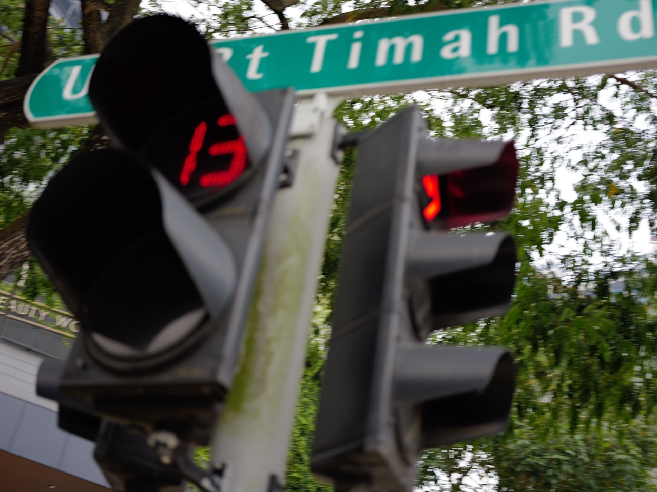
Fact-checked 25 October 2026. Featured image shows a general Bukit Timah Road pedestrian crossing, not a photograph of completed Kheam Hock or Sunset Way works. Dates and scope need current official confirmation.
More in the Future of Bukit Timah series: Dunearn Estate upgrading programme · Mayfair Park Silver Estate upgrading · Upper Bukit Timah Road 2027 bus-lane works. Earlier related articles: Binjai bridge and step-free access · Eng Neo and Dunearn road plans · Upper Bukit Timah Canal resilience.