
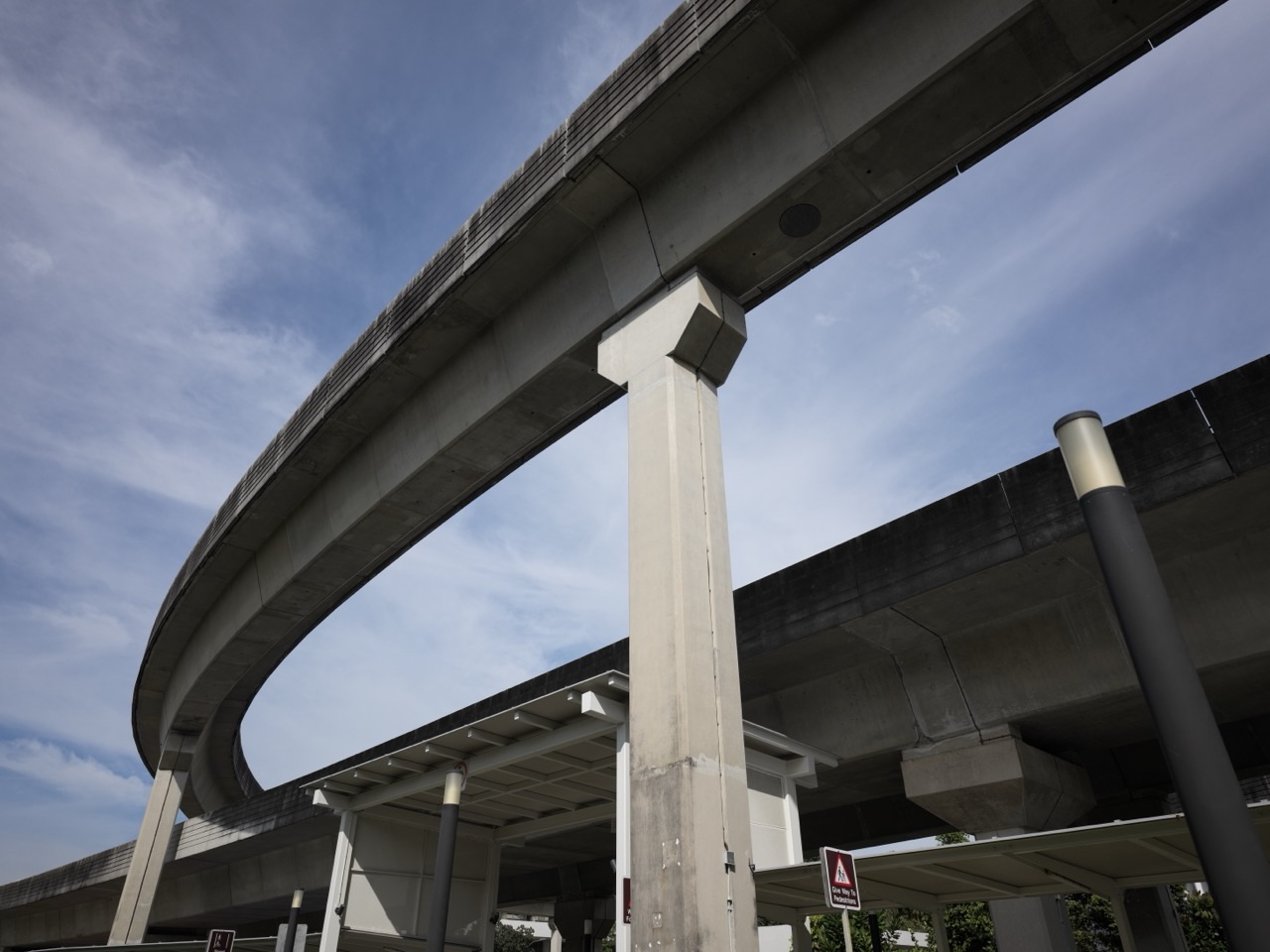
Nibong LRT Station (PW5) on the Punggol West Loop is a useful starting point for a quiet neighbourhood walk along Punggol Way and Sumang Link. The interesting places near Nibong are not a giant attraction or an attached mall: they are the Waterway Terraces II and Punggol ParcVista neighbourhood surroundings, local food and everyday services, and public connections towards the Punggol Waterway. Nibong also serves Punggol Cove Primary School, but a working school is not a public sightseeing destination.
This guide explains where visitors can go after alighting at Nibong, why the area is noteworthy for waterfront housing and pedestrian design, what families can do on a simple outing, and when another LRT station is the better choice. It separates publicly accessible paths from residential-only spaces and never promises that a café, playground or private deck will be open.
For most visitors, the best plan is one short walk through the public streets and towards a marked waterway path, with food or a small errand as an optional extra. Those looking for a large mall should alight at Samudera for Northshore Plaza or at Punggol MRT for Waterway Point instead.
Nibong LRT station PW5: quick facts
- Line: Punggol LRT West Loop, station code PW5.
- Setting: Punggol Way in a predominantly residential district with homes, schools and public pedestrian infrastructure.
- Exit A direction: Sumang Walk and the Punggol Cove Primary School side, including Punggol Vue and the wider neighbourhood.
- Exit B direction: Waterway Terraces II, Punggol ParcVista and routes towards MyWaterway@Punggol, subject to actual pedestrian access.
- Main purpose: local walking, waterfront-housing observation, short food-and-errands visits, or reaching a specific address.
- What is not here: no major shopping mall attached directly to the station and no guaranteed organised tourist attraction.
- Best visitors: nearby residents, visiting relatives, school-route planners and people interested in how Punggol’s waterway neighbourhood was designed.
- What to check first: the exact exit, nearby public path, current construction or maintenance notices, rain and any appointment at a destination.
Why would anyone visit Nibong instead of a more famous stop?
Nibong is useful precisely because it is ordinary. Someone who wants a crowded shopping centre or a destination restaurant will find more obvious choices elsewhere. A visitor who wants to understand waterfront living, neighbourhood pedestrian routes or how an LRT station supports families may find this stop more interesting than its low-key profile suggests.
HDB’s Punggol Town Design Guide places Waterway Terraces I and II in the town’s Waterway West District. The design concept is described as ‘Urban Terraces’: stepped residential forms, landscaping and pedestrian connections intended to draw people towards the waterway. These ideas have a physical setting close to Nibong, which serves one side of the wider waterfront neighbourhood.
A planning concept is not a visitor-access permit. It describes the urban design, not a right to enter apartment blocks, sky gardens, balconies or residents’ facilities. The useful activity is to look at the architecture from genuine public routes and appreciate how it meets the streets and water.
1. Walk through the public streets around Waterway Terraces II
Start by leaving Nibong on the side shown for Waterway Terraces II and Punggol ParcVista. Historic station exit guides identify this as Exit B, but use the actual station signs when you arrive because signs and surface routes can change. At street level, look for legal crossings and publicly marked connections.
The broader Waterway Terraces district is interesting for its cascading building forms. HDB’s town design material explains that some residential masses step down towards the waterway, while gaps and landscaped spaces are intended to make the waterfront neighbourhood feel less like a wall of buildings. In ordinary language, the design tries to let people see and reach the green-and-blue spaces rather than hiding them behind continuous facades.
From a public footpath, observe how the ground floor meets the street, where a pedestrian path continues towards the green corridor, and how greenery changes the appearance of the housing blocks. These are things you can see without entering a home or needing to buy something.
Avoid the mistake of wandering through corridors or lifts in search of a ‘secret rooftop’. A residential estate may have public paths alongside spaces meant for residents only. Follow signs, security notices and the usual privacy rules. If a path is not clearly public, choose another route.
2. Follow appropriate public routes towards the Punggol Waterway
HDB identifies Punggol’s man-made waterway as a key feature of the town and says it is around 4.2 kilometres long. It is not a swimming pool or a single park entrance. Different stretches have different access points, and a visitor approaching from Nibong should aim for a suitable public promenade section rather than assuming the entire waterway is a five-minute walk away.
After the station, follow the current street signs and public path network on the Waterway Terraces side. If you can reach a clearly signposted waterfront route safely, choose a comfortable short section and turn around while you still have energy. A good 15-minute walk along the water is more useful than an overambitious circuit with a tired child.
Near the waterfront, notice the practical differences between streets designed for vehicles and paths designed for walking or cycling. You may see the water, bridge structures, landscaped edges and steps or slopes that provide access between levels. These features help explain why the surrounding development was designed with more than private apartment entrances in mind.
Check current NParks and town-council information before relying on a particular connector, bridge or section. The named Punggol Waterway Park is a broader park area and NParks lists Damai and Punggol MRT among its nearby stations; not every feature advertised for the park is beside Nibong. The waterway’s public promenade and a named park attraction are not interchangeable.
3. Appreciate the waterfront housing rather than entering private facilities
There is a small but important difference between visiting a neighbourhood and touring a residential development. People who live near Nibong are not exhibits. Their buildings provide a valuable real-world lesson in Singapore town planning, but that interest does not justify intrusive photography, entering private lobbies or waiting outside someone’s home.
A simple architectural observation exercise is to compare the views from different lawful public pedestrian angles. Can you see the waterway through an opening between blocks? Is the vegetation closer to the road or the waterfront? Do you find signage to an accessible public path? These questions make the walk purposeful without asking for special access.
HDB’s 2024-updated town design guide also discusses the relationship between shared green spaces and the waterfront promenade. It is an intention at district scale, not a promise that every corridor or courtyard is open 24 hours. If a particular link is closed or marked private, use the alternative public route.
4. Use the station for Punggol Cove Primary School trips—but respect school access
Punggol Cove Primary School is on the neighbourhood side of Nibong served by Exit A in station exit references. The station is valuable to pupils and families planning an ordinary school commute. But a school has its own gates, visitor procedures, dismissal rules and safety arrangements. Travelling to the right station does not remove the need to comply with those rules.
Parents visiting the school should check the school’s official address and current instructions, which gate applies to their purpose, and whether visitors must register. A school-hour pickup may involve controlled access and crowded pedestrian space. Do not stop at a gate to photograph children, explore school grounds or treat the building as an attraction.
If you are simply learning a future route, do a trial journey outside peak school times and inspect the legal crossings. Look for where a child would need to navigate stairs, lifts, rain, buses or turning vehicles. The most useful route is the one the child can manage safely, not necessarily the shortest line on a map.
5. Find everyday food and services without inventing a food trail
Neighbourhood housing blocks around Nibong have small retail areas and everyday eating options. Independent station guides describe coffee shops or provision stores serving residents. The practical way to use them is to check what is open on the day rather than travelling for an unverified named stall.
If you only want a drink or simple lunch after a walk, a neighbourhood coffee shop may be all you need. Look at displayed menus and prices and see whether there is appropriate seating. People with dietary restrictions should verify ingredients, allergen concerns or halal certification directly with the current operator.
A station-centred guide should not tell visitors that there is a famous restaurant around every corner. Nibong’s strength is a compact residential neighbourhood with access to green space, not a destination food scene. Samudera (PW4) is a stronger alternative for shopping at Northshore Plaza; Sam Kee (PW1) for One Punggol Hawker Centre; and Punggol MRT (NE17) for Waterway Point.
Three visits that actually fit Nibong
A 20–30-minute neighbourhood discovery
- Take the Punggol LRT West Loop to Nibong PW5.
- Leave by the correct exit for one chosen public destination.
- Walk along the public pedestrian route and notice the housing, greenery and connected crossings.
- Return without adding a long waterway loop or entering residential-only spaces.
This is a suitable first visit if you are checking a route before taking a child or an older family member. A small, comfortable outing is more useful than finishing an arbitrary list of places.
A 45–60-minute waterfront attempt
- Start at the Waterway Terraces side of Nibong and identify a clearly public route.
- Walk towards the waterfront using current signs and lawful crossings.
- Choose one small section of promenade if the connection is open and weather permits.
- Pause to observe bridges, water and architecture, then return by the path you know.
Do not treat a time range as a guarantee of reaching a specific waterway bridge. If a public link is under maintenance or the group moves slowly, shorten the route. The experience still counts.
A practical family outing around a school or appointment
- Confirm the destination’s actual address and opening or appointment instructions.
- Check which Nibong station exit gives the least confusing approach.
- Make the appointment or school-related task the only essential activity.
- Add a local meal or short walk only after the main errand is completed.
The temptation to combine too many tasks is strongest when a neighbourhood looks compact. Keep a little margin for waiting, queues and children needing rest.
How do I get to Nibong LRT?
From the North East Line, alight at Punggol MRT (NE17), then transfer to the Punggol LRT West Loop. Follow the station displays for Nibong (PW5). Nibong sits between Samudera (PW4) and Sumang (PW6) on the loop; depending on train direction, one side may produce a shorter journey.
Read the live platform display rather than memorising historical service patterns. The Punggol West Loop was introduced in phases, and old documents may describe one-direction arrangements that do not represent current operations. The cost of the journey depends on where you start, the full set of transfers and your fare eligibility; check SimplyGo’s official fare guidance.
At Nibong, choose the station exit by destination. Older detailed exit guides place Punggol Cove Primary School and Sumang Walk on the A side, and Waterway Terraces II and MyWaterway@Punggol on the B side. Current signs, lift accessibility and public crossings should control your actual route.
Should you use Nibong, Sumang or Samudera?
- Nibong PW5: neighbourhood paths, Waterway Terraces II side, Punggol Cove Primary School and local errands.
- Sumang PW6: Sumang Walk and Waterway Terraces I neighbourhood, local food and a distinct approach to the waterway.
- Samudera PW4: Northshore Plaza I and II, shopping and Northshore seafront streets.
- Sam Kee PW1: One Punggol, Punggol Regional Library and the civic hub.
- Punggol MRT NE17: Waterway Point, the bus interchange and the main rail transfer.
- Damai PE7: an NParks-listed nearby station for Punggol Waterway Park’s named facilities, if those are your actual goal.
The best station is the one that leads to the exact entrance you need, not necessarily the station with the most attractive-sounding name. Check both the rail connection and the last pedestrian section.
What does the name Nibong mean?
‘Nibong’ is a Malay common name used for a palm species. It is one of several Punggol station names with meanings tied to language, geography or history. For children, noticing the name can turn a train ride into a short vocabulary activity. The word’s meaning by itself is not proof that a particular tree grows next to this station today.
If you want to make the visit educational, ask a child to think of three different reasons an LRT stop might be named: a historical person, a natural feature or a modern planning theme. Compare Nibong with Sumang, which honours Wak Sumang, and Samudera, a Malay word associated with the sea or ocean. The point is to research meanings instead of guessing.
Safety, cost and accessibility checklist
- Weather: avoid exposed promenade walking during thunderstorms, lightning or severe afternoon heat.
- Walking: estimate the actual route from the correct exit to a public waterway access point; do not quote straight-line distance as a walk.
- Mobility: use station lifts and public accessible routes; some estate paths may have level changes or temporary diversions.
- Cost: ordinary public neighbourhood walks do not require an entry ticket; any food, shopping or train journey costs extra.
- Privacy: never enter private residential floors, school grounds or restricted common areas just to explore.
- Water: do not fish, swim or enter the waterway; follow NParks rules for relevant park sections.
- Photography: take photos from lawful public spots without pointing cameras into homes or at schoolchildren.
Frequently asked questions about Nibong LRT Station
What is near Nibong LRT station?
Waterway Terraces II and Punggol ParcVista neighbourhoods, local retail and food options, Punggol Cove Primary School and public connections towards the wider Punggol Waterway area.
Is Nibong on the West Loop?
Yes. Nibong is PW5 on the Punggol LRT West Loop, between Samudera and Sumang.
Which exit is for Waterway Terraces II?
Station exit references identify the Waterway Terraces II / MyWaterway@Punggol side with Exit B. Follow the current physical signage and accessible public route.
Is there a large shopping mall directly at Nibong?
No. This is primarily a residential station. Use Samudera for Northshore Plaza or Punggol MRT for Waterway Point if shopping is the main purpose.
Can tourists walk beside the waterway?
Public pedestrian and promenade sections can be used where open and permitted. Not every space within a residential development is public, and the named park’s main attractions are spread over a wider area.
Is Nibong the best stop for Punggol Waterway Park’s main bridges?
Not necessarily. NParks lists Damai and Punggol MRT as nearby stations for Punggol Waterway Park. Choose the bridge or park entrance you want before selecting your train stop.
Can I visit Punggol Cove Primary School as an attraction?
No. It is an operating school. Visitors must have an appropriate school-related reason and follow its visitor-control and security instructions.
Is this a free outing?
Walking on publicly accessible neighbourhood paths does not normally require admission. Transport and optional purchases cost money.
Sources and related guides
- HDB: Punggol Town and Waterfront Living — the 4.2 km waterway and town context.
- HDB: Punggol Town Design Guide (2024) — Waterway West’s terraced housing and public design principles.
- NParks: Punggol Waterway Park — named park attractions, nearby station options and rules.
- Land Transport Guru: Nibong Station — exit sides and surrounding buildings; verify current signage on arrival.
- LTA: Sengkang–Punggol LRT — rail network and official transport information.
- eduKate Punggol: Punggol LRT West Loop Station Guide — where Nibong fits into the seven-station circuit.
- LRT Guide: Samudera (PW4) — an alternative shopping and waterfront outing.
Reviewed 31 October 2026. This guide describes actual public paths and district context but does not guarantee access through residential areas, exact walking times, retail tenants or open park sections. Check official signs and live service information when travelling.