
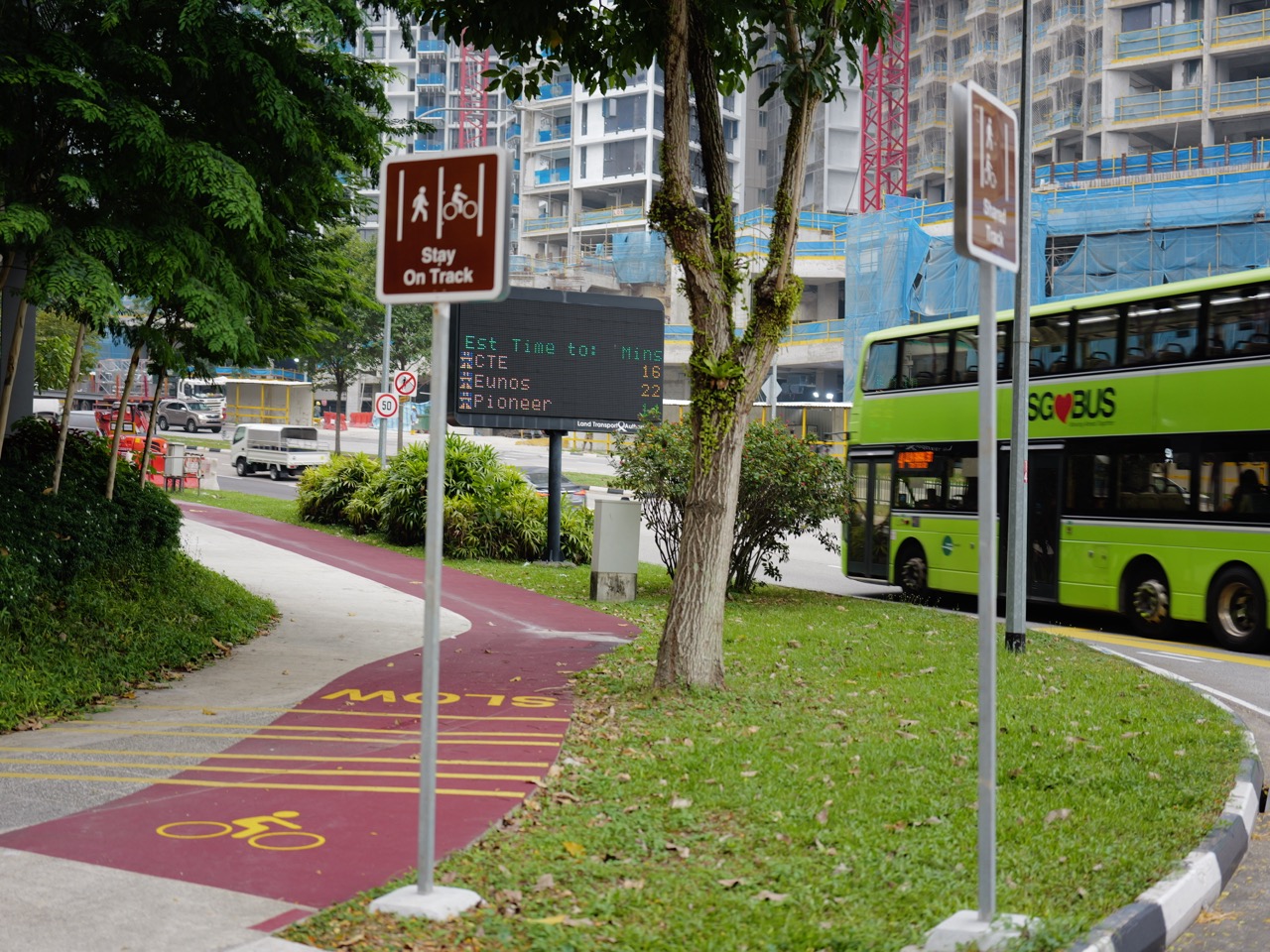
Bukit Timah cycling routes are not interchangeable. The Rail Corridor is a shared recreational route, while NParks describes the 7km Bukit Timah Mountain Bike Trail as intermediate to advanced and technical. Being able to ride a bicycle on pavement does not make a rider ready for rocky descents or demanding trail climbs.
For a relaxed outing, first check the permitted route, surface, distance and return plan. For a mountain-bike ride, assess skill and equipment as well as fitness. Avoid following a hiking itinerary on a bicycle simply because both routes appear in the same green area on a map.
The useful question is not “Which route is best?” but “Which route fits this rider today?” A confident technical rider, a child still learning to brake and a family wanting a gentle outing need different plans.
Choose your reading route
SECTION 1 OF 5
1. Choose the riding experience before the destination
Start with everyone’s braking, steering and stopping confidence. A route that suits the strongest rider may still be wrong for the least experienced person.
Use current official maps to check the entire planned route. Look for permitted riding sections, crossings and a practical exit rather than only the attractive landmark at the finish.
If the route does not fit the group, shorten it or choose another outing. There is no benefit in turning a recreational ride into a test someone did not agree to take.
SECTION 2 OF 5
2. Treat the Rail Corridor as a shared space
NParks specifies a 10km/h cycling limit along the Rail Corridor, asks riders to yield to pedestrians and requires bicycles to be pushed across its bridges.
The same visitor guidance excludes motorised PMDs and power-assisted bicycles from the corridor. Check device-specific permissions instead of assuming every two-wheeled vehicle follows the same rule.
Plan a daylight ride and read current closure notices. A route used previously may have a changed access point or works affecting a section.
SECTION 3 OF 5
3. Understand the mountain-bike trail’s demands
NParks describes technical climbs, rock gardens, drops and blind corners on the Bukit Timah trail. Those features require more than general cycling confidence.
Its official map divides the trail into numbered sections and shows difficulty grades. Review it before riding, and do not assume an exit is available at any point you choose.
The activity page identifies Hindhede Drive and Dairy Farm Road carparks as access options for riders arriving by car. Parking availability and a suitable ride plan still need separate consideration.
SECTION 4 OF 5
4. Respect the boundary between biking and hiking
A mountain-bike trail is a designated riding route, not permission to cycle throughout the nature reserve. Follow the relevant trail map and signs.
NParks’ shared-path guidance identifies places where riding is not allowed, including Hindhede Nature Park, Rifle Range Nature Park, Dairy Farm’s Wallace Trail and Chestnut’s hiking trails.
A tempting shortcut into a neighbouring park can therefore be the wrong move. Keep the route within the paths approved for the activity you are doing.
SECTION 5 OF 5
5. Make conditions and etiquette part of the ride
NParks advises mountain biking only in good weather because wet and muddy riding can damage trails. Its guidance also calls for a helmet and appropriate gear, a phone and first-aid kit, and avoiding solo trail rides.
Stay on designated trails and do not create new lines around obstacles. Respect wildlife and other riders rather than treating the landscape as an obstacle course to redesign.
Before leaving, check the bike and agree on the point where the group will turn back. Our Chestnut Nature Park guide introduces another local park, but any riding plan there still needs its own trail-specific check.
The most enjoyable route is one you can ride responsibly, finish comfortably and choose again with confidence.
Sources and current visitor information
Information checked on 12 October 2026. Recheck current access notices, opening hours, weather and onsite signs before travelling.
NParks: Bukit Timah mountain-bike trail and official map
NParks: mountain-biking etiquette and weather guidance