
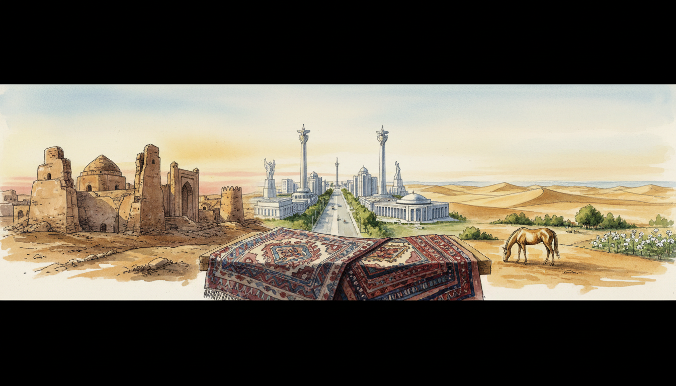
Did you know that the same mountain range can protect a community, slow a messenger and create a busy trading pass? Physical geography rarely gives civilisation a simple yes-or-no answer. It changes the choices people face.
Mountains, deserts and seas shaped ancient societies by influencing where people could travel, farm, defend, exchange and build. Yet people also constructed roads, found water, developed sailing skills and organised trade. Geography mattered enormously; human decisions mattered too.
The short answer
How did mountains, deserts and seas shape ancient societies? Explore passes, oases, roads and sea routes through history, with clear examples and answers.
In 60 seconds
- Mountains often made movement expensive, but valleys and passes connected distant populations.
- Deserts discouraged some journeys while concentrating movement around wells, oases and reliable corridors.
- Seas could separate people without seafaring skills and connect them when navigators, ports and trade networks developed.
Why a natural barrier is not always a wall
Imagine two towns with a mountain between them. A traveller may need days to reach the other town by a winding pass. Food, information and tools may therefore move more slowly than on an open plain. But when a pass is dependable, it can become a valuable meeting point.
A barrier changes the cost, speed, risk and timing of interaction. It does not automatically prevent interaction. A mountain can make an invasion difficult and also make the few usable routes politically important.
The same applies to deserts and seas. The question is not simply whether the land is difficult. It is who knows the route, who maintains the infrastructure, when travel is safe, and whether the benefits make the journey worthwhile.
Did you know? A civilisation can be powerful because it controls a narrow corridor rather than a large area. A mountain pass, harbour entrance or oasis may matter far beyond its physical size.
Mountains: protection, pressure and pathways
Mountain chains create differences in elevation, temperature, rainfall and access. Farmers may choose valley floors, terraces or highland pastures; travellers often seek passes and river valleys. Different communities can develop distinct livelihoods within a short distance.
One striking later historical example is the Inka road system in the Andes. The Smithsonian’s National Museum of the American Indian explains how roads, bridges and support structures helped the Inka state govern a vast region of western South America. The mountains did not disappear: engineering and labour made movement more manageable.
That is an important distinction. A road does not erase altitude, landslide danger or the work of maintenance. It turns a very difficult journey into one that can be organised repeatedly, while remaining vulnerable to weather and disruption.
We should not assume every mountainous society followed the Inka model, or that difficult geography inevitably creates a strong state. The Inka case demonstrates a possible human response under a particular political and technological system.
Think of the mountain as a question: how much effort is a society prepared to devote to connecting its communities? The answer depends on resources, priorities, labour, institutions and relationships, not only the height of the peaks.
Deserts: why the empty-looking spaces were not empty
A desert may contain very little dependable surface water, yet journeys across arid regions have long connected communities. Knowledge of wells, seasonal conditions, pack animals and stopping places can turn isolated points into a travel network.
UNESCO describes the Zarafshan–Karakum corridor in Central Asia as a landscape joining mountain valleys, oases and desert caravan routes. Its recorded Silk Roads history stretches across many later ancient and medieval centuries, so it should not be confused with the very earliest Mesopotamian cities.
The lesson is the same across periods: scarcity can make access points more important. An oasis offers water and rest, but keeping a route useful also requires trust, storage, security, local expertise and exchange.
A caravan route can bring wealth and new knowledge. It may also expose settlements to disease, conflict, competition or sudden interruptions in trade. Connection creates opportunity and dependence at the same time.
A useful historian’s question is not ‘Was the desert impassable?’ but ‘For whom, in which season, using which technology and with what support?’
Seas: from separation to connection
From the shore, a sea looks like a border. From a vessel, it can become a road. That transformation depends on boats, navigation, ports, weather knowledge, repair skills and people willing to exchange goods and ideas.
UNESCO’s Silk Roads research emphasises that long-distance exchange was not one path and not only a land story. Sea routes carried people, products, techniques and beliefs between different shores.
Sailing was never uniformly easy. Winds, currents, storms, piracy, coastal geography and harbour facilities shaped what was practical. A port city could thrive because it became a reliable place to transfer cargo and information from one network to another.
Sea travel also changed scale. A community might obtain products unavailable locally, while merchants could carry stories, language, religious practices and technical knowledge alongside goods. Contact was not always peaceful or equal, but it could change both sides.
Did you know? Sometimes water connects distant settlements more cheaply than rough land does. The existence of water alone is not enough; the transport system is what makes the connection usable.
The historical examples at a glance
These examples come from different places and centuries. They are not stages of one universal civilisation story. Comparing them helps identify a common mechanism without pretending the societies were identical.
- Egypt and its surroundings: the Nile corridor supported movement and agriculture, while neighbouring arid landscapes posed different costs and risks. This pattern did not by itself determine Egypt’s political history.
- Central Asian corridors: Silk Roads routes used passes, valleys and oasis settlements to bridge difficult terrain over many centuries.
- The Inka Andes: a state organised roads and bridges through mountains, demonstrating how institutions and infrastructure alter geographical constraints.
- Maritime routes: ports and sailors connected societies that remained separated by long stretches of water.
What changes when a barrier becomes a corridor?
First, information moves. A messenger, trader or traveller may carry useful knowledge long before an army, government or large market arrives. Information allows people to judge risks, negotiate, learn routes and recognise possible partners.
Second, settlements near crossing points may gain influence. They can provide lodging, food, boat repairs, transport services and local knowledge. But a valuable corridor can also attract taxation, rivalry and attempts at control.
Third, communities become exposed to developments elsewhere. A distant conflict, shipping disruption, drought at an oasis or unsafe mountain pass can interrupt local supplies. The route is now a benefit and a dependency.
Fourth, societies must decide whether connection serves them fairly. Who gains income? Who performs dangerous work? Who protects the road? Who pays for bridges after a storm? These questions are as much about institutions as about landforms.
A geographical feature therefore enters history through a chain: landscape → travel costs → human adaptation → repeated connection → trade and governance → new opportunities and risks.
How to read a civilisation map in five questions
This checklist prevents a familiar mistake: using the map as though geography alone writes history. A map shows constraints and possibilities. Evidence about people, technology, institutions and time explains what actually happened.
For a modern example, a road tunnel or shipping port can reorganise what a region can exchange without changing its mountains or coastline. The capability comes from the maintained system, not from the map symbol alone.
- Where are water, food, safe passage and usable harbours?
- Which barriers change with the season?
- Who knows and maintains the route?
- What travels across it besides products?
- What happens to the settlements if the route fails?
Frequently asked questions
Did deserts stop ancient trade?
No. Arid regions made journeys difficult, but oasis networks and route knowledge enabled trade in some periods and places. Conditions, water supplies and security mattered.
Why did civilisations form near passes and harbours?
Such locations could concentrate movement, food, services and exchange. Their success still depended on organisation, resources and politics.
Did mountains always protect states from invasion?
No. Mountains could obstruct movement but also contained passes. Their defensive value depended on armies, routes, seasons and local knowledge.
Are the Silk Roads one road?
No. UNESCO describes a changing network of land and maritime routes across different regions and centuries.
What is the main lesson?
Geography shapes the costs of connection, while human communities decide how to respond to those costs.
Explore the Civilisation series
Continue with the Civilisation archive and these connected explanations:
- Civilisation | How Seasons, Floods and Monsoons Shaped Civilisations
- Civilisation | Why Geography Does Not Decide a Civilisation’s Fate
- Civilisation | How Civilisations Preserved and Passed On Knowledge
Earlier foundations in this series:
- Civilisation and the geography of early societies
- Before the first cities
- Cities, government, work and culture
- How settlements became systems
- The river valley civilisations
Sources and further reading
These museum, academic and heritage resources provide evidence for the historical examples. Interpretations of particular events can be revised as research develops.
- UNESCO — Silk Roads: Chang’an–Tianshan Corridor
- UNESCO — Zarafshan–Karakum Corridor
- Smithsonian — The Great Inka Road
- UNESCO — About the Silk Roads
The central principle: observe the evidence, describe the mechanism, and leave room for what historians do not yet know.