
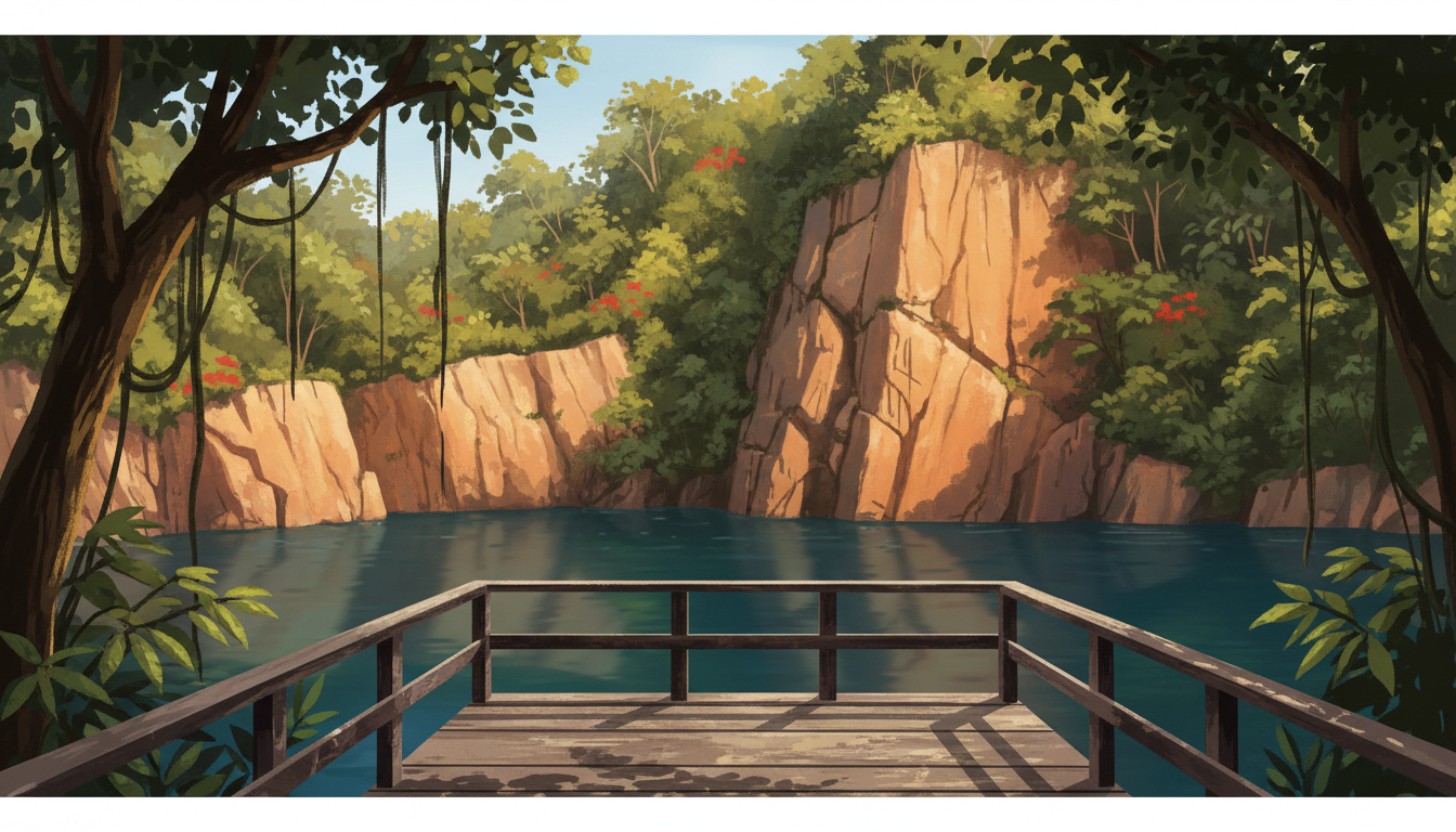
Did you know that the calm water at Hindhede Quarry tells a story about industry as much as nature? To understand how Bukit Timah works, begin with the ground itself: hard rock, a prominent hill, a transport route and generations of people who changed the land around them.
The quick answer: Bukit Timah’s granite-rich terrain helped determine where stone could be quarried. Better transport made that stone more useful for construction. When quarrying stopped, some excavated landscapes became places where visitors could learn about the area’s geological and industrial past. The rainforest and the quarries belong to related, but not identical, histories.
In this guide: Begin beneath your feet: what does granite do? · Why the railway changed the economics of stone · Why a former quarry can look like a nature sanctuary · Follow the chain of cause and effect · What can families and students observe? · A better way to read Bukit Timah’s landscape
1. Begin beneath your feet: what does granite do?
Granite is an igneous rock. It forms when molten material cools and crystallises beneath the Earth’s surface. Its durability made it valuable as a building material; its presence also helps explain why parts of the Bukit Timah landscape remained rocky and elevated while weathering and erosion slowly altered surrounding terrain.
Singapore’s highest natural point is on Bukit Timah Hill, approximately 163 metres above sea level. That is a modest height compared with mountains elsewhere, yet in a low-lying island city it creates a distinctive change of slope, vegetation and experience over a short distance.
Here is the important distinction: a hill is not the same as a quarry. The hill is a natural landform shaped over geological time. A quarry is a human excavation made to remove material. At Bukit Timah, the two stories meet because people cut into granite-rich ground.
2. Why the railway changed the economics of stone
Imagine being responsible for getting tons of stone from an inland hillside to a building site. The problem is not simply finding granite. It is moving it without spending more than the stone is worth.
Early Bukit Timah was connected to town by a long road. Later, the railway created another way to carry people and heavy materials. The National Heritage Board’s account of the area describes the relationship between the transport network, quarrying, early industries and the growth of settlements.
This is an example of a wider principle in how cities work: resources become economically useful when access improves. Rock plus labour is not enough. You also need transport, demand, tools and markets.
Granite quarrying therefore belongs in the same historical picture as the road, the railway and Singapore’s expanding infrastructure. It would be misleading to explain Bukit Timah’s physical landscape while ignoring the people who worked in it.
3. Why a former quarry can look like a nature sanctuary
Hindhede Nature Park sits beside Bukit Timah Nature Reserve. NParks describes its former quarry as a landscape of rock cliffs and calm water. What visitors see today is not an untouched prehistoric lake: it is a place with an industrial past that now serves a different public purpose.
After extraction ends, the exposed rock faces, altered terrain, vegetation and accumulated water can create a very different scene from an operating quarry. Ecological recovery and careful park management may make the setting attractive to wildlife and people, but a former industrial site should not be confused with undisturbed primary rainforest.
That distinction is useful when looking at photographs. A dramatic cliff can be evidence of excavation. A nearby mature forest may represent a much older ecological system. Both can be beautiful, but they tell different stories.
4. Follow the chain of cause and effect
Notice how none of these steps works alone. The environment shapes human choices, and human choices reshape the environment. That is the central idea behind this Bukit Timah geography story.
- Geology: granite existed in the ground long before the city.
- Access: roads and rail made inland resources easier to move.
- Industry: quarrying altered parts of the hillside and created livelihoods.
- Change: transport, land use and environmental priorities evolved.
- Today: the reserve and neighbouring nature parks offer opportunities to protect habitat and interpret heritage.
5. What can families and students observe?
Try a two-column field notebook when visiting an approved public lookout. Label one side natural processes and the other human changes. Under natural processes, note vegetation, slopes, water and weathering. Under human changes, note exposed quarry faces, trails, signs, access roads and conservation barriers.
Ask three questions: What evidence shows that this land was once used for extraction? What evidence shows how nature has returned? What can we not conclude from a single visit? The last question matters: a calm view does not prove the water is safe for swimming or that the habitat is fully restored.
Use designated paths only. NParks provides up-to-date park access information, and conditions can change after heavy rain or maintenance. Do not enter quarry water, climb rock faces or cross barriers.
6. A better way to read Bukit Timah’s landscape
A child’s simple question—’Why is that cliff there?’—can open a lesson about geology, trade, transport, ecology and civic decisions. The best explanation does not stop at ‘there was a quarry’. It traces the mechanism from rock to road to quarry to conservation.
Next time you see the hillside from Upper Bukit Timah, you are not looking at just one historical period. You are looking at a place where deep geological time and relatively recent urban development remain visible together.
Frequently asked questions
Is Bukit Timah Hill made of granite?
Bukit Timah is associated with granite-rich terrain. The geological story is more complex than a single surface rock, so the best answer is that granite is a major part of the area’s physical and quarrying history.
Is Hindhede Quarry still an operating quarry?
No. Hindhede Quarry is now a landscape feature of Hindhede Nature Park; check NParks for current access, trail and visitor guidance.
Can people swim or climb inside the old quarry?
Do not treat the quarry as a swimming or climbing venue. Follow NParks signs, designated trails and any current access restrictions.
Read the source information
For official details, use these primary sources. Visitor information and transport access may change, so check the agency pages before travelling.
- NParks: Hindhede Nature Park
- NParks: Bukit Timah Nature Reserve
- National Heritage Board: Bukit Timah community heritage trail
Explore the How Bukit Timah Works series
- How Bukit Timah Works | Why Granite, Quarries and Hills Shaped the Area (this article)
- How Bukit Timah Works | How the Rainforest Survives Inside Singapore
- How Bukit Timah Works | How the Rail Corridor Connects History and Nature
- How Bukit Timah Works | Why Schools and MRT Stations Follow the Main Road