
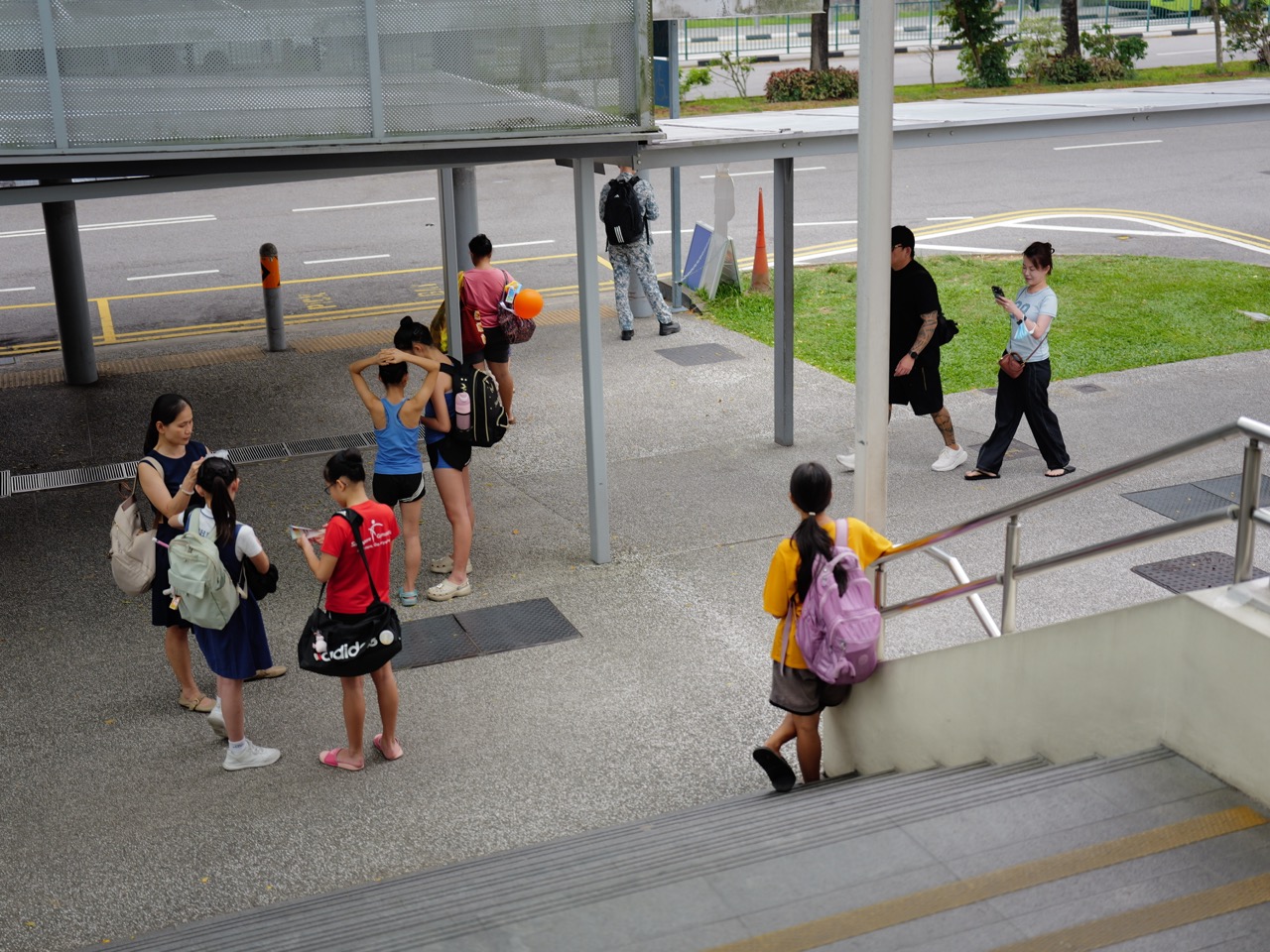
Why Singaporeans love Upper Bukit Timah is a story about a corridor where Singapore’s interior history is still unusually easy to read. Upper Bukit Timah Road, the former railway, The Rail Mall, Hillview, Beauty World, old churches, schools, nature parks and the Central Catchment edge all sit along one long route.
That makes Upper Bukit Timah different from the larger Bukit Timah master. Bukit Timah tells the broad story of nature, education, heritage and centrality. Upper Bukit Timah is more linear: it is the road-and-rail corridor that opened the interior and still connects nature, housing and movement today.
For families, the appeal is practical access to schools, food, greenery and the Downtown Line. For students, Upper Bukit Timah offers a powerful learning theme: a corridor becomes valuable because many different systems can attach to one stable spine.
Arrange a parent–student consultation with eduKate Singapore · Chat on WhatsApp
Upper Bukit Timah Road Opened Singapore’s Interior
National Heritage Board’s Bukit Timah heritage material records the road through Bukit Timah as being completed in 1845, linking the city with Kranji and the island’s northern interior.
The road increased the movement of people and commodities inland and later became closely associated with railway, churches, schools, factories and residential growth.
Students can therefore begin with a simple idea: long corridors often become development spines because other systems attach to them over time.
Roots: Bukit Timah Community Heritage Trail
The First Reason: The Railway Added a Second Spine
The Singapore–Johor railway followed the larger Bukit Timah corridor and made Upper Bukit Timah part of a regional transport system.
Today, the old rail alignment has become part of the Rail Corridor.
NParks describes the Rail Corridor as a 24-kilometre ecological and recreational spine that also preserves railway heritage.
The Second Reason: Old Infrastructure Became Green Infrastructure
The railway stopped carrying trains, but the route remained useful.
Today, people walk, cycle and move through a corridor that also helps connect habitats between major green areas.
For students, this is a clear adaptive-reuse lesson: a strong alignment can survive even after the original function disappears.
The Third Reason: The Rail Corridor Connects Directly to Upper Bukit Timah Life
NParks’ current Rail Corridor North information highlights direct access from Hillview MRT toward the Upper Bukit Timah truss bridge and The Rail Mall.
The extended overhead bridge reduces the need to cross Upper Bukit Timah Road at street level and improves access between the rail corridor and nearby amenities.
That is a useful planning principle: a corridor only becomes truly useful when people can enter and leave it safely.
The Fourth Reason: Nature Is Close Without Erasing Urban Life
Upper Bukit Timah sits close to Bukit Timah Nature Reserve, Dairy Farm Nature Park, Singapore Quarry and the wider Central Nature Park Network.
The area is therefore unusual because food, homes, transit and major nature systems sit within a short distance of one another.
Why Singaporeans Love Hillview owns the war–industry–nature edge story, while Why Singaporeans Love Beauty World owns the old market and modern node story.
The Fifth Reason: Heritage Institutions Still Sit Along the Corridor
Roots records St Joseph’s Church at the old 9½ milestone and the network of institutions that later grew around it, including the school that became Boys’ Town.
These sites show how a transport corridor can accumulate religious, educational and community institutions over generations.
Students can use this to understand cumulative geography: one road gains meaning from everything that repeatedly attaches to it.
The Sixth Reason: The Downtown Line Changed Effective Distance
Hillview, Beauty World and King Albert Park stations made the Upper Bukit Timah corridor much easier to access by rail.
The physical distance to the city did not shrink. The network improved.
Students can use this to understand effective distance: travel time, transfers and predictability often matter more than kilometres alone.
The Seventh Reason: Upper Bukit Timah Is a Corridor, Not One Centre
The area has several nodes rather than one single heart: Beauty World, Hillview, The Rail Mall, King Albert Park and the nature gateways all perform different jobs.
That is exactly why a corridor master is useful.
The page should explain the relationships among the nodes without stealing the specialist job of each local owner.
Upper Bukit Timah’s Learning Theme: Build a Spine That Can Carry Detail
- identify the main relationship;
- attach new details to that relationship;
- keep each detail in the correct place;
- remove information that does not support the structure;
- test whether the student can reconstruct the topic from the spine.
A Family Upper Bukit Timah Learning Route
- Begin at one Downtown Line station and identify the modern transport spine.
- Enter the Rail Corridor and identify the former railway alignment.
- Use Upper Bukit Timah Road to discuss the older road corridor.
- Notice where housing, food and nature access connect to the same route.
- Compare the corridor with the separate Beauty World and Hillview nodes.
- End by asking what stayed stable while the transport functions changed.
Upper Bukit Timah and the 3-Pax Small-Group Logic
A strong lesson also needs a spine.
With three students, the tutor can keep one shared conceptual relationship while repairing different weak links for each learner.
The class remains coherent without becoming one-size-fits-all.
The Three Consumables at Upper Bukit Timah
Time: use rail and local amenities to reduce transition friction.
Resources: organise learning around one strong conceptual spine.
Energy: preserve attention for the relationship rather than decorative detail.
Why Upper Bukit Timah Has a Strong Tuition Ecosystem
How to Improve With Tuition | Upper Bukit Timah · Secondary 1 English Tuition | Upper Bukit Timah · Secondary 4 English Tuition | Upper Bukit Timah
Frequently Asked Questions
What makes Upper Bukit Timah distinct from Bukit Timah?
Upper Bukit Timah is best understood as the northern road-and-rail corridor linking Beauty World, Hillview, the Rail Corridor and nearby nature gateways, while Bukit Timah is the wider town-scale identity.
Is the Rail Corridor open at night?
NParks states that the corridor is not lit at night except at selected access points and encourages visitors to leave before dark.
Does an Upper Bukit Timah student automatically need tuition?
No. Tuition should answer a specific learning need or deliberate extension goal.
Upper Bukit Timah and the Economics of a Corridor
A corridor creates value because many different activities can share the same route.
Upper Bukit Timah Road carried people and goods. The railway added another transport layer. The Rail Corridor now adds recreation and ecology. MRT stations reduce travel friction while food, schools and housing remain attached to the same larger spine.
Students can use this to understand infrastructure compounding: once a stable route exists, later systems can build on it.
A Worked Spine Example
Imagine a student with fifteen pages of Mathematics notes but no organising relationship. Revision becomes slow because every page feels equally important.
Now rebuild the topic around one spine: quantity, relationship, representation and change. Examples and methods attach to that structure instead of floating independently.
Upper Bukit Timah’s road-and-rail history gives the same lesson physically: the spine allows complexity to accumulate without becoming chaos.
Upper Bukit Timah as a Vocabulary Network
- corridor — a route or zone connecting larger areas;
- alignment — the path followed by a road, railway or other linear system;
- adaptive reuse — giving an existing structure a new function;
- ecological connectivity — links that help wildlife move between habitats;
- spine — a main structure organising related parts.
The Quiet-Confidence Principle
Upper Bukit Timah becomes easier to understand once the corridor is identified first.
Strong students develop the same calm. They know the organising structure well enough that new details have somewhere to go.
Why Singaporeans Love Upper Bukit Timah
Upper Bukit Timah is loved because road, rail, schools, food, housing and nature all attach to one long historic corridor.
For students, it is a lesson in building a strong spine. For families, it is a connected west-central corridor where heritage and green access remain part of everyday life.
Arrange a Parent–Student Consultation
Contact eduKate Singapore or chat on WhatsApp.
eduKateSG
8 Fourth Avenue
Singapore 268674
Near Sixth Avenue MRT
Maximum three students per group
1.5-hour weekly tutorials
By appointment