
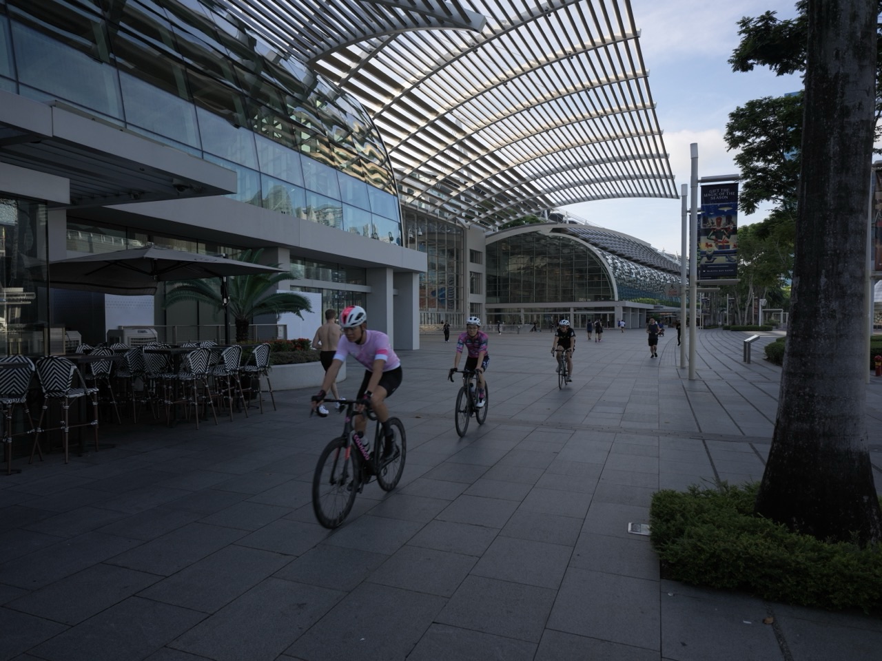
Crazy Rich Singapore | Cycling Paths, Active Mobility and the Car-Lite Transport Economy begins with one of the cheapest vehicles in the transport system: a bicycle.
Did you know Singapore already has more than 730 kilometres of cycling paths and park connectors, with the national network planned to grow to around 1,300 kilometres by 2030? The goal is for every HDB town to have cycling paths connecting homes with MRT stations, bus interchanges, schools, malls, parks and nearby neighbourhoods.
That makes “cycling Singapore”, “cycling path Singapore”, “active mobility Singapore”, “park connector Singapore”, “car-lite Singapore” and “cycling network Singapore” powerful search themes. The Crazy Rich story is not a weekend leisure ride. It is the way cycling, walking, footpaths, bus priority, road repurposing and rail connections can reduce how often a short urban trip needs a car at all.
Crazy Rich Singapore can create transport capacity by giving a two-wheeled vehicle enough safe space to become ordinary.
Did You Know? Active Mobility Is Part of the Transport System
The Ministry of Transport defines active mobility around walking, cycling and related low-speed modes.
These modes solve trips that are often too short for a car to be efficient and too awkward for a train alone.
They are especially useful for:
- first-mile trips to MRT stations;
- last-mile trips from bus interchanges;
- short neighbourhood errands;
- school journeys; and
- recreational travel.
The bicycle is not competing with MRT.
It can make MRT easier to reach.
More Than 730 Kilometres Today
LTA’s current 2026 cycling page says Singapore has more than 730 kilometres of cycling paths and park connectors across HDB towns, estates and the Central Area.
That network already changes everyday travel geography.
A destination five kilometres away may feel far on foot and awkward by bus.
On a connected cycling path, it can become a straightforward trip.
The 1,300-Kilometre Target by 2030
Singapore plans to expand its cycling network to about 1,300 kilometres islandwide by 2030.
The target is almost twice the current network scale.
The ambition is not simply more kilometres.
The more important objective is continuity.
A disconnected path is recreational infrastructure.
A connected network can become transport infrastructure.
Every HDB Town Is Part of the Plan
MOT says the Islandwide Cycling Network Programme aims for all HDB towns to have cycling-path networks connecting residents to:
- MRT stations;
- bus interchanges;
- shopping malls;
- schools; and
- nearby amenities.
Some routes will also connect towns directly to one another.
That moves cycling beyond loops inside parks.
The bicycle becomes part of ordinary urban mobility.
Why First Mile and Last Mile Matter
A rail station can be excellent and still feel inconvenient if the walk to it is too long.
Cycling expands the catchment of each station.
A person can reach an MRT station from farther away without waiting for a feeder bus or using a car.
The cycling path therefore increases the effective reach of the rail network.
The MRT Connection
That connects directly to Crazy Rich Singapore | MRT Tunnels, Deep Infrastructure and the Underground City.
The train handles the long-distance trunk journey.
The bicycle handles the neighbourhood connection.
The richest transport network combines modes instead of forcing one mode to solve every distance.
Why Terracotta Red Matters
MOT says cycling paths are coated with skid-resistant material and coloured terracotta red for better visibility.
That is a small design decision with practical safety value.
Colour helps users identify the space quickly.
A path works better when pedestrians, cyclists and drivers understand who is expected where.
Slow Markings and Speed-Regulating Strips
At potential conflict points, LTA uses treatments such as:
- SLOW markings;
- speed-regulating strips; and
- signage.
The objective is to reduce speed before the conflict happens.
That is preventive safety engineering.
A warning after the collision would be useless.
Pedestrian-Only Paths Create Separation
Where dedicated cycling paths run beside footpaths, Singapore has been converting selected footpaths into Pedestrian-Only Paths.
Bicycles and non-motorised PMDs must use the adjacent cycling path rather than the pedestrian path.
Enforcement against incorrect use has been in place since 1 July 2025.
The design principle is straightforward:
separate faster-moving and slower-moving users where enough space exists.
Why Shared Paths Are Sometimes Still Necessary
Singapore cannot instantly widen every path.
Some areas remain shared because of land constraints, trees, utilities, buildings or road geometry.
That means path users need behavioural rules as well as infrastructure.
The network evolves gradually.
Car-lite design is partly construction and partly etiquette.
The Active Mobility Act
The Active Mobility Act has governed the use of bicycles, power-assisted bicycles and other active-mobility devices on public paths and roads since 2018.
Rules distinguish where different devices may be used and the speeds allowed.
That is important because a path shared by pedestrians and faster devices needs clear expectations.
Infrastructure without rules can still become unsafe.
The 2026 PMA Rule Changes
From 1 June 2026, new rules tightened the use of mobility scooters on public paths.
Users generally need a Certification of Medical Need unless they qualify for specified exemptions.
The Government also accepted a move toward a 6 km/h maximum device capability for public-path PMAs from 2029.
The policy tries to preserve mobility assistance while reducing misuse and speed conflicts.
Why 6 km/h Matters
Six kilometres per hour is close to brisk walking speed.
That creates a clearer relationship between mobility aids and pedestrians sharing space.
A mobility aid exists to support mobility difficulty.
It should not behave like a fast personal transport device on a pedestrian path.
Road Repurposing Gives Space Back to People
Singapore is also experimenting with converting selected road space into:
- footpaths;
- cycling paths; and
- bus lanes.
MOT said in January 2026 that six of the 60 sites identified in 2021 had completed road-repurposing projects and five more were in progress.
Some other sites are being incorporated into Friendly Streets.
Road space becomes a policy choice rather than a permanent allocation.
The Friendly Streets Programme
Friendly Streets redesign neighbourhood roads to improve walking, cycling and community safety.
MOT says the initiative will expand to all towns by 2030.
Typical treatments can include:
- traffic calming;
- safer crossings;
- more pedestrian space; and
- better active-mobility connections.
The neighbourhood street becomes less about moving cars through quickly and more about helping residents move safely.
Why Road Repurposing Is Politically Difficult
Every metre of road space already has users.
Converting a lane or parking area can affect:
- drivers;
- bus operations;
- deliveries;
- business access; and
- residents.
That is why MOT emphasises stakeholder consultation and engineering studies.
Car-lite planning is not achieved by drawing a red line on a map.
It requires negotiation among competing uses.
The North-South Corridor Cycling Trunk Route
LTA says the upcoming North-South Corridor will include a cycling trunk route connecting northern Singapore toward the city.
That creates a different scale of cycling infrastructure.
Neighbourhood paths handle short trips.
A trunk route can support longer-distance cycling.
The network starts to develop hierarchy, just like roads and rail.
Why Cycling Trunk Routes Matter
Long-distance cycling becomes difficult when the rider repeatedly encounters:
- dead ends;
- narrow footpaths;
- busy crossings;
- stairs; and
- unpredictable mixing with pedestrians.
A continuous trunk route reduces those interruptions.
Average journey speed increases without requiring cyclists themselves to ride dangerously faster.
Network design creates speed through continuity.
The Park Connector Connection
Singapore’s cycling network overlaps significantly with the Park Connector Network.
That connects to Crazy Rich Singapore | City in Nature, Park Connectors and the Green Urbanism Economy.
Park connectors began partly as recreational green links.
They increasingly function as mobility corridors too.
Green infrastructure becomes transport infrastructure.
Why Bicycle Parking Is Part of the Network
A cycling path is only useful if the rider can leave the bicycle securely at the destination.
LTA therefore expands bicycle parking alongside paths and rail connections.
This is a classic systems lesson.
Mobility does not end when movement ends.
Parking is part of the journey.
The HDB Connection
Because cycling paths are being built across all HDB towns, active mobility connects directly to Crazy Rich Singapore | HDB, BTO and the Mass Homeownership Economy.
The typical HDB resident can become a cyclist only when the path begins close enough to the block.
National housing density makes network coverage especially powerful.
The Car-Lite Tengah Connection
Tengah’s car-lite planning is one of Singapore’s strongest town-scale examples of active-mobility-first design.
That connects to Crazy Rich Singapore | Tengah Smart Town, Car-Lite Planning and the Future Housing Economy.
It is easier to design cycling continuity before roads and buildings are fixed than to retrofit it decades later.
Why Cycling Can Reduce Short Car Trips
Cars are excellent for some journeys.
They are inefficient when one person drives a very short distance that could be walked or cycled safely.
Active mobility can reduce:
- parking demand;
- road congestion;
- local emissions; and
- energy use.
The benefit appears only when routes feel safe enough for ordinary people, not just confident cyclists.
The EV Connection
Cycling and electric vehicles are complementary, not opposing strategies.
That connects to Crazy Rich Singapore | Electric Vehicles, EV Charging and the Electrification Economy.
Active mobility reduces some motorised trips.
Electrification cleans the vehicles that remain.
A low-carbon transport system needs both mode shift and cleaner technology.
The Healthier SG Connection
Cycling is transport and physical activity simultaneously.
That connects to Crazy Rich Singapore | Healthier SG, Family Doctors and the Preventive Care Economy.
A commute can become exercise without scheduling a separate gym session.
Urban design can make healthy behaviour easier by default.
Why Heat and Rain Still Matter
Singapore’s tropical climate creates real barriers to active mobility.
Cyclists face:
- heat;
- humidity;
- heavy rain; and
- intense sun.
That is why shade, greenery, shelters, drainage and end-of-trip facilities matter.
A path can exist physically and still be unattractive if climate comfort is ignored.
The Tropical Design Connection
That connects directly to Crazy Rich Singapore | Architecture, Tropical Urbanism and the Design Economy.
Transport design in Singapore has to admit where Singapore is.
The Equator is part of the mobility system.
Why Cycling Safety Is a Behaviour Problem Too
Infrastructure cannot eliminate all conflict.
Cyclists still need to:
- slow near pedestrians;
- give way appropriately;
- signal;
- use lights at night; and
- follow path and road rules.
Pedestrians also benefit from predictable movement.
Safety emerges from both design and conduct.
Why Active Mobility Is Cheap—but Not Free
A bicycle costs far less than a car.
A national cycling network still requires substantial public investment in:
- paths;
- crossings;
- parking;
- signage;
- lighting; and
- maintenance.
Low-cost transport for the user can depend on high-quality shared infrastructure underneath.
Why a 1,300-Kilometre Network Changes Culture
At small scale, cycling can feel like a hobby.
At network scale, it can become ordinary transport.
Culture changes when infrastructure makes the behaviour convenient enough to repeat.
People do not need to identify as “cyclists”.
They can simply ride somewhere.
What Students Can Learn from Active Mobility
Physics
Cycling converts human energy into motion with extraordinary mechanical efficiency.
Geography
Connected paths change how far neighbourhood destinations feel from one another.
Economics
Road space has opportunity cost and can be allocated among cars, buses, pedestrians and cyclists.
Health
Transport design can embed physical activity into everyday routines.
Civics
Shared paths require rules and social responsibility because public space belongs to many kinds of users.
Ten Vocabulary Words for the Active Mobility Economy
1. Active mobility
Walking, cycling and other low-speed human-scale modes used for transport.
2. Cycling path
A dedicated path intended primarily for bicycle and permitted active-mobility use.
3. Park Connector Network
Singapore’s network of green corridors linking parks and communities, many of which also support cycling.
4. Car-lite
Planning that reduces dependence on private cars by improving walking, cycling and public transport.
5. First mile
The initial part of a journey from origin to a major transport mode such as MRT.
6. Last mile
The final part of a journey from major transport to the destination.
7. Pedestrian-Only Path
A designated footpath reserved for pedestrians and permitted mobility-aid users under current rules.
8. PMA
Personal Mobility Aid, such as a mobility scooter, intended to assist users with mobility needs.
9. Road repurposing
Converting road space to other uses such as walking, cycling or bus priority.
10. Friendly Streets
Singapore’s neighbourhood street-design initiative prioritising safer and more inclusive movement.
Frequently Asked Questions
How long is Singapore’s cycling network now?
LTA’s current 2026 page says there are more than 730 kilometres of cycling paths and park connectors.
What is the 2030 target?
Around 1,300 kilometres islandwide.
Will every HDB town have cycling paths?
The Islandwide Cycling Network Programme aims for all HDB towns to have cycling-path networks connecting homes with transport nodes and amenities.
What changed for mobility scooters in June 2026?
Users generally need a Certification of Medical Need to ride mobility scooters on public paths unless exempted under the current framework.
Are bicycles allowed on Pedestrian-Only Paths?
No. Where a footpath has been converted to Pedestrian-Only and an adjacent cycling path exists, bicycles and non-motorised PMDs should use the cycling path.
Helpful Reading Across the Singapore Graph
- Crazy Rich Singapore | City in Nature, Park Connectors and the Green Urbanism Economy
- Crazy Rich Singapore | Tengah Smart Town, Car-Lite Planning and the Future Housing Economy
- Crazy Rich Singapore | MRT Tunnels, Deep Infrastructure and the Underground City
- Crazy Rich Singapore | Electric Vehicles, EV Charging and the Electrification Economy
References and Current Sources
- Land Transport Authority, Cycling, current 730km network and 1,300km target.
- Ministry of Transport, Active Mobility Infrastructure, updated 25 August 2026.
- Ministry of Transport, Rules & Code of Conduct, current 2026 PMA and active-mobility rules.
- Ministry of Transport, Road Conversion Status and Progress, 13 January 2026.
Crazy Rich Singapore Creates Capacity with a Red Path
Transport capacity does not always require another tunnel, flyover or car lane.
Sometimes it requires enough safe, connected space for a person to move under their own power.
Did you know? One of Singapore’s richest mobility investments is a terracotta-red path because every short trip that becomes easy to walk or cycle is one less trip the road network has to solve with a car.