
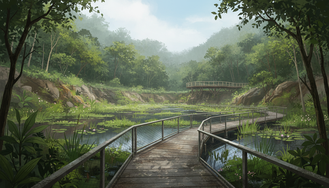
Updated 25 October 2026 | Bukit Timah, Singapore. Did you know that the place once quarried for stone is now a 66-hectare nature park where families can watch birds from a wetland hide? Rifle Range Nature Park is already open, but its official 2026 visitor updates and late-year guided walks are useful for planning 2027 visits.
Picture two very different days out. A family with a stroller wants to reach the Quarry Wetland without tackling a steep slope. A keen hiker wants the Colugo Deck high above it. They are visiting the same park, yet should choose different routes. Treating every nature trail as one generic walk can make a simple outing unexpectedly difficult.
Quick answer: NParks lists Rifle Range Nature Park, 126 Rifle Range Road, as an established 66-hectare park open 7am–7pm. It has six entrances, a 700m barrier-free route between Visitor Pavilion and Quarry Wetland, a 411m Gliders Boardwalk, a 113m Forest Exploration Trail for ages 5–12, and more demanding trails including the 582m Colugo Trail to a viewing deck about 31m above the wetland. NParks also lists a free guided walk scheduled for Saturday, 21 November 2026, 9.30–10.30am; guided walks require registration and have no walk-in places. This is not a new park due to open in 2027: it originally opened in November 2022. For 2027, use the current access maps, events calendar and closure notices.
This dated guide separates places available now from future events and planning targets. Schedules, registration opportunities and local access may change after the checking date. Confirm practical details from the named public agency before travelling.
Did you know? Five essentials first
- Already open: Rifle Range Nature Park opened in November 2022 and has 66ha of protected nature-park land.
- Daily window: NParks lists 7am–7pm; entry routes and individual trails can have temporary restrictions.
- Gentle route: A 700m barrier-free connection between Visitor Pavilion and Quarry Wetland.
- Adventure route: Colugo Trail is steep; Colugo Deck rises about 31m above the wetland.
- 2026–2027 planning: November 2026 guided nature walk shown on NParks’ calendar; later 2027 events and access require new official confirmation.
The timeline: what happened and what comes next
| When | Verified milestone or future checkpoint |
|---|---|
| 12 November 2022 | NParks opened Rifle Range Nature Park around the former Sin Seng Quarry. |
| 27 January 2026 | NParks’ park listing confirmed the 66ha site, hours, access, wildlife and route restrictions. |
| 25 October 2026 | The park remains an existing visitor destination; scheduled event entries are not proof of availability for walk-in participants. |
| 21 November 2026 (scheduled) | NParks lists a free guided nature walk at 9.30–10.30am; registration is required, and capacity should be confirmed. |
| During 2027 | Look for NParks’ new guided-walk dates, updated maps, closures and nature-education opportunities rather than an invented reopening. |
| Beyond 2027 | Habitat restoration and visitor management continue independently of any single guided walk. |
Choose your reading route
- Where is Rifle Range Nature Park?
- How did an old granite quarry become a wetland?
- What is the most accessible way to see Quarry Wetland?
- What is the Colugo Deck, and why is it so high?
- How do Rambai Boardwalk and the Forest Exploration Trail differ?
- Where do the Banyan and Gaharu trails go?
- What can families see from the Waterhen Hide?
- Does NParks have a guided walk scheduled for November 2026?
- What rules apply to dogs, cycling and large groups?
- How is Rifle Range different from Hindhede and Dairy Farm parks?
- How should visitors plan for 2027?
- Frequently asked questions
- Official references
Where is Rifle Range Nature Park?
The nature park’s visitor address is 126 Rifle Range Road, near Beauty World MRT and the green corridor adjoining Bukit Timah Nature Reserve. Six entrances are listed by NParks, including access around Rifle Range Road, Upper Bukit Timah Road, Hindhede Drive, Jalan Kampong Chantek and the Rail Corridor.
It is easy to confuse the park with Rifle Range Road itself, the nearby nature reserve or another quarry destination. Those are related geographically but not interchangeable. The park’s main features were designed to invite nature appreciation while acting as a buffer for the more sensitive nature reserve.
NParks lists 68 ordinary car lots, two accessible car lots and 13 motorcycle lots, while bicycle parking is available near Senapang Entrance. Spaces are limited and their availability changes during busy periods.
If arriving by rail, Beauty World MRT on the Downtown Line is a recognised public-transport option. The actual walk to the desired entrance depends on which trail you plan to use and whether local paths are open.
Use NParks’ visitor page to check live notices and park access before setting out.
How did an old granite quarry become a wetland?
Rifle Range Nature Park was developed at the former Sin Seng Quarry site. Quarrying reshaped the land by removing rock; after operations ceased, the former quarry landscape could be adapted for ecology and nature-based recreation.
NParks transformed part of the site into a freshwater wetland. Water, vegetation and careful habitat design now support birds, insects and other animals. This creates a very different experience from standing next to an exposed rock wall in a still-active quarry.
The park’s role is not merely scenic. It buffers Bukit Timah Nature Reserve from some surrounding pressures, provides complementary habitats and gives visitors an alternative nature destination that can reduce pressure on the reserve’s busiest summit routes.
For students, this is a useful example of land-use change: an industrial site can later support conservation and education. The transformation takes planning and maintenance; it does not mean former quarry walls or water are safe for swimming and climbing.
The history and opening are described in NParks’ 12 November 2022 opening release.
What is the most accessible way to see Quarry Wetland?
The key information for someone who wants a relatively gentle outing is the 700m barrier-free route between Visitor Pavilion and Quarry Wetland. NParks describes it as accessible for wheelchair users, a more precise statement than saying every trail in the 66ha park is accessible.
The Gliders Boardwalk is part of the experience and measures about 411m. It is an elevated connection through greenery that allows visitors to observe habitat from an appropriate route without entering undergrowth.
Someone travelling with a stroller or using a mobility aid should assess the entire journey from the chosen entrance, not only the boardwalk. A car park, nearby crossing or alternative path may have different conditions.
Visitors should not assume an accessible wetland route makes Colugo Trail or the park’s steeper forest routes suitable for all mobility needs. NParks classifies those trails separately.
Planning a route for the slowest or least mobile person in the group makes the outing more relaxed for everyone.
What is the Colugo Deck, and why is it so high?
The Colugo Deck is a viewing point that rises approximately 31m above Quarry Wetland. Its shape recalls the way a Malayan colugo spreads its skin membrane while gliding between trees.
The route to the deck is the approximately 582m Colugo Trail, which NParks describes as steep. It is a different physical challenge from the barrier-free wetland approach.
From a high point, visitors can understand the former quarry’s shape and how forest surrounds the reclaimed wetland. The viewpoint is intended for observing the landscape safely, not for leaving the deck or approaching exposed cliff edges.
A colugo is a gliding mammal. The fact that its membrane helps it move through the forest does not guarantee a visitor will see one: it is nocturnal, and wildlife encounters depend on conditions and chance.
For a family with younger children or someone uncomfortable on steep slopes, the Quarry Wetland boardwalk is a valid destination in its own right.
How do Rambai Boardwalk and the Forest Exploration Trail differ?
The Rambai Boardwalk is approximately 535m long and is a convenient entry route from the Beauty World side. It passes through tree canopy views and includes information about the area’s previous quarry and Singapore Gun Club history.
The Forest Exploration Trail is about 113m long and was designed for children aged 5–12. Its log courses, pebble paths and boulders encourage exploration, balance and movement in a natural setting.
The small number 113m can be misleading if parents assume it is a flat, fully accessible path. A trail with nature-play elements may require care, supervision and appropriate footwear even though its length is short.
Different parts of the park serve different goals. A parent choosing a route for a child should consider the type of movement and the current weather rather than simply selecting the smallest number on a map.
NParks’ official trail descriptions distinguish these routes and their lengths.
Where do the Banyan and Gaharu trails go?
NParks describes Gaharu Trail as approximately 826m and Banyan Trail as approximately 647m. These forest routes begin around the Gaharu Entrance on Jalan Kampong Chantek and run through denser woodland.
The Banyan route passes one of Singapore’s relatively rare remaining natural freshwater stream settings. That makes it particularly valuable as habitat, not a place where visitors should leave the track to wade or collect plants.
A short distance on a map can be deceptive when a path contains dirt, stones, natural gradients or muddy patches after rain. Shoes and care on uneven ground are important.
The names also link the trails with plants and the forest environment. A nature walk can become a lesson in how species depend on water, shade and interconnected habitat.
Visitors should keep a respectful distance from wildlife and follow current trail closure notices. A forest path is not simply an alternate road through protected land.
What can families see from the Waterhen Hide?
The Waterhen Hide is described by NParks as a nest-like structure in the Quarry Wetland. It allows people to observe the wetland’s birds and other wildlife without approaching animals too closely.
Species that visitors may encounter include kingfishers and wetland birds such as the Yellow Bittern. A quiet visitor may also notice dragonflies or smaller animals close to the water. None of these sightings should be promised for a particular date.
The park is home to hundreds of animal species, including insects and arachnids, and provides habitat for colugos, macaques and other forest creatures. Careful observation is more rewarding than chasing an animal for a photograph.
Bring binoculars if you have them, keep noise low and observe from designated facilities. Avoid feeding wildlife or placing food near the hide, since human feeding can change animal behaviour.
For children, this offers a useful exercise in noticing patterns: how do long-legged birds use shallow water, and how does vegetation provide shelter at the wetland edge?
Does NParks have a guided walk scheduled for November 2026?
Yes. On its 2026 visitor listing, NParks advertises a free ‘Nature Guided Walk at Rifle Range Nature Park’ on Saturday, 21 November 2026, from 9.30am to 10.30am, with the Visitor Pavilion as the stated meeting venue.
The separate hiking activities page says guided walks are about one hour long and that participants must register in advance. No walk-ins are allowed. Being listed on the calendar does not guarantee a place remains available when a reader sees this article.
Families interested in 2027 programmes should follow the new NParks events calendar instead of assuming that the same tour automatically repeats on every third Saturday or at the same hour.
A guided walk can help students notice plant and animal features they might overlook independently. The guide also teaches visitors how to behave respectfully in a nature park.
Visit NParks’ guided-tour directory and the park event listing for current registration details.
What rules apply to dogs, cycling and large groups?
NParks prohibits pets, fishing, cycling and motorised personal mobility devices in Rifle Range Nature Park. It also requires organisers of group activities involving more than 30 people to apply for a permit at least one month in advance.
These rules reflect the park’s ecological purpose. A nature trail can be shared by walkers while still restricting activities that would disturb wildlife or put pedestrians at risk.
A guided or school outing should have appropriate supervision, an emergency plan, sufficient water and a route suited to the group. A large informal group cannot assume an ordinary visitor listing overrides the permit requirement.
Children should remain on open paths, avoid feeding monkeys or birds and keep hands away from unfamiliar animals. A photograph is never worth leaving a trail or disturbing a protected habitat.
The appropriate etiquette is part of the visitor experience, not an optional detail added only for conservation experts.
How is Rifle Range different from Hindhede and Dairy Farm parks?
Three Upper Bukit Timah destinations have different appeal. Rifle Range Nature Park features Quarry Wetland, boardwalks, forest exploration and a high viewing deck. Hindhede Nature Park offers Hindhede Quarry viewpoints and family play areas. Dairy Farm Nature Park includes Wallace Trail and a former cowshed now used for nature education.
All three relate to the Bukit Timah green network but have different visitor routes, rules, amenities and opening times. A temporary closure at a Hindhede entrance should not automatically be reported as a closure of Rifle Range.
The steep Bukit Timah Hill summit is yet another route with its own challenges. A family does not need to climb that hill to gain a meaningful nature experience.
For a 2027 itinerary, select one main destination and build a comfortable route around it. Multiple attractions close together on a map can still involve considerable walking.
Keeping the parks separate in a visitor guide improves accuracy and avoids turning all Bukit Timah wildlife walks into one indistinct attraction.
How should visitors plan for 2027?
Start by choosing your objective: easy wetland viewing, a more challenging deck hike, a children’s nature-play route or a guided educational session. Then choose the appropriate park entrance and check the latest map.
Visit within the park’s 7am–7pm opening period, allow for daylight and postpone exposed or steep routes during lightning or heavy rain. Insects, slippery surfaces and changing weather are part of a tropical nature park.
Do not assume that a 2026 guided-walk listing means a reserved place or a confirmed 2027 session. Register only through the relevant official event page for the requested date.
Check the current barriers and NParks advisories. Maintenance work can temporarily close a path even when the park as a whole remains open.
By December 2027, a useful updated article will report new officially announced programmes and access conditions without inventing a new grand opening for a park that has already welcomed visitors for years.
- Shorter accessible choice: the officially designated barrier-free Visitor Pavilion–Quarry Wetland connection.
- Strenuous viewpoint: Colugo Trail and Colugo Deck, only if appropriate for your group.
- Children: Forest Exploration Trail, following posted age and safety guidance.
- Birdwatching: stay quiet at Quarry Wetland and Waterhen Hide.
- Events: reserve a place for scheduled tours; no walk-in guided-walk participants.
- Always: obey 7am–7pm hours and restrictions on pets, cycling, fishing and large groups.
Frequently asked questions
Is Rifle Range Nature Park open in 2026?
Yes. NParks lists it as an existing park open 7am–7pm, subject to temporary advisories.
When did the park open?
12 November 2022.
How large is it?
Approximately 66 hectares.
Where is the address?
126 Rifle Range Road, near Beauty World and the Central Nature Park Network.
How many official entrances are there?
NParks lists six entrances around Rifle Range Road and nearby roads and trails.
Is there an accessible wetland walk?
Yes. NParks lists a 700m barrier-free route between Visitor Pavilion and Quarry Wetland.
How far is the Gliders Boardwalk?
About 411m.
What is the height of Colugo Deck?
About 31m above the Quarry Wetland.
Does the park have a nature-play route for children?
Yes. The 113m Forest Exploration Trail is designed for ages 5–12.
Is there a guided walk on 21 November 2026?
NParks lists a free 9.30–10.30am event, but prior registration is required and availability must be checked.
Can visitors bring dogs or cycle through the park?
No. NParks prohibits pets and cycling, and also fishing and motorised mobility devices.
Will the park have a new opening in 2027?
It is already open; later programmes or local closures need separate official notices.
Official references and further reading
Sources are listed for date-sensitive claims and visitor rules. This article was checked on 25 October 2026; follow new notices and event information issued by the relevant operator.
- NParks: Rifle Range visitor details, wildlife, accessibility and November 2026 event
- NParks: Trail lengths, visitor pavilion, deck, and tour registration rules
- NParks: 12 November 2022 opening and conservation role
- NParks: Current guided nature tours and educational programmes
- NParks: Separate Bukit Timah Nature Reserve access and rules
More Bukit Timah reading: Bukit Timah summit and reserve visitor guide · Hindhede Nature Park trail-diversion updates · Wallace Trail and Dairy Farm Nature Park · Browse all Latest for Bukit Timah updates.
More latest Bukit Timah neighbourhood updates
- Bukit Timah Railway Station and Nine Mile Platform
- Clementi Avenue 4 playground and rain-shelter plans
- Pick parcel lockers at Toh Yi and Clementi NorthArc
Explore the full Bukit Timah 2026–2027 updates series
Editorial note: The featured illustration is conceptual editorial art, not documentary evidence of current conditions. Exact future schedules are not promised where no formal notice exists. Check restrictions and temporary closures before a visit.