
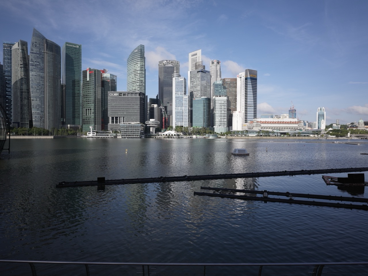
Things to do in Singapore | Anson Road. Walk the southern gateway to the Central Business District, compare office towers with the emerging mixed-use neighbourhood around Tanjong Pagar, use the completed Circle Line loop and nearby MRT nodes, study how streets and public spaces are being redesigned, and use Anson Road to understand how Singapore is turning a traditional office district into a place where more people can also live, eat and spend time after work.
Anson Road is the CBD learning how not to switch off at 6pm.
For decades, this part of downtown was associated strongly with offices.
URA’s planning direction now pushes the area toward a more mixed urban neighbourhood with homes, active streets, public spaces and stronger pedestrian connections.
- Walk north from Keppel and Cantonment toward Tanjong Pagar.
- Compare older office blocks with newer mixed-use developments.
- Use Tanjong Pagar MRT and nearby Cantonment or Prince Edward Road stations to understand the transport network.
- Look for public plazas, through-block links and smaller pedestrian streets.
- Compare daytime office crowds with evening activity.
- Continue toward Shenton Way and Robinson Road.
- Use the route to understand why modern CBDs increasingly add homes and public life.
Read: Things to do in Singapore | Tanjong Pagar
Read: Things to do in Singapore | Shenton Way
Read: Things to do in Singapore | Cantonment
Start With the Big Idea: Anson Is Being Repositioned as a Mixed-Use Urban Neighbourhood
URA identifies Anson as the southernmost precinct of the traditional Central Business District.
The planning direction is to move beyond a mono-use office environment toward a neighbourhood with a live-in population, active streets and more public spaces.
That change matters because a district dominated by offices can become very quiet outside working hours.
Adding homes and amenities extends the daily life of the area.
Official planning reference: URA | Rejuvenating Our Downtown
Walk Anson Road as the Southern Gateway to the CBD
Anson Road begins near the southern edge of the downtown office district and runs toward the Tanjong Pagar core.
Its location makes it a natural gateway between Keppel, Cantonment, Tanjong Pagar and the financial district.
The road therefore carries more than local traffic.
It connects several urban systems that are changing simultaneously.
Look for the Shift From Podium Towers to Streets and Squares
URA’s urban-design direction for Anson discourages the older pattern of very large podium-tower blocks dominating entire parcels.
Instead, planning encourages smaller building blocks, internal pedestrian streets, through-block links and public squares.
That is an important change in city design.
The goal is not simply more floor area.
It is a more permeable ground plane.
Use the Ground Floor as the Test
When comparing office buildings, ignore the skyline for a moment and study street level.
- Can pedestrians cut through the block?
- Are there public seats?
- Is there food or retail at the edge?
- Are walkways shaded?
- Does the lobby occupy the whole frontage?
- Can someone who does not work in the building still use the ground plane?
A mixed-use city is judged as much by the first ten metres above ground as by the tower above.
Use Tanjong Pagar MRT as the Main Transport Anchor
Tanjong Pagar MRT remains one of the major access points for Anson and the southern CBD.
High-capacity rail allows large numbers of workers and residents to reach the district without every trip depending on cars.
Transport capacity makes redevelopment intensity possible.
Density and rail reinforce one another.
Add the 2026 Circle Line Layer
Circle Line Stage 6 opened on 12 July 2026 with Cantonment, Prince Edward Road and Keppel stations, closing the Circle Line loop.
That gives the wider Anson–Tanjong Pagar area additional orbital rail access beyond the older East–West Line spine.
The practical result is more route choice.
The planning result is greater flexibility for southern downtown redevelopment.
Official rail reference: LTA | Circle Line Stage 6
Walk Toward Cantonment
Cantonment adds the former Tanjong Pagar Railway Station, Singapore Art Museum at Tanjong Pagar Distripark and the new Circle Line station.
The short connection demonstrates how old and new transport systems can overlap inside one redevelopment corridor.
Continue nearby: Things to do in Singapore | Cantonment
Walk Toward Tanjong Pagar
Tanjong Pagar adds the conservation layer.
Low-rise shophouse streets sit beside modern towers and MRT infrastructure.
That contrast makes the area unusually useful for understanding Singapore’s density strategy.
Some land preserves historic scale.
Other parcels absorb much greater vertical intensity.
Continue nearby: Things to do in Singapore | Tanjong Pagar
Walk Toward Shenton Way
Shenton Way continues the traditional office corridor northward.
It is also undergoing mixed-use renewal as the CBD Incentive Scheme encourages older office sites to add homes, hotels, public space and retail.
Anson and Shenton therefore belong to the same broader downtown transformation.
Continue nearby: Things to do in Singapore | Shenton Way
Use Anson Road to Teach the Problem of the 9-to-5 District
A mono-use office district is efficient during working hours.
It can be inefficient after them.
- restaurants lose evening demand;
- public spaces empty;
- transport flows peak sharply;
- shops depend heavily on weekdays;
- streets feel less safe or lively when population drops.
Mixed use smooths those cycles by placing more kinds of people in the district at more times of day.
Understand Why Homes in the CBD Matter
Housing close to jobs can reduce some commuting distances.
Residents also create everyday demand for groceries, childcare, fitness, food and services.
The CBD then begins to behave more like a complete neighbourhood rather than only a workplace.
Anson Road is one of the places where that change is becoming visible.
A Simple Anson Road Half-Day Plan
- Morning: begin near Tanjong Pagar MRT.
- Walk south along Anson Road.
- Ground-plane stop: look for through-block links and public spaces.
- Transport stop: continue toward Cantonment or Prince Edward Road MRT.
- History extension: walk to the former Tanjong Pagar Railway Station.
- Finish through Shenton Way or Tanjong Pagar.
Anson Road Through the eduKate Ecosystem
Things to do in Singapore | Tanjong Pagar
Things to do in Singapore | Cantonment
Things to do in Singapore | Shenton Way
Things to do in Singapore | Robinson Road
Frequently Asked Questions
What is Anson Road known for?
It is a major southern-CBD office corridor linking Tanjong Pagar with the traditional financial district.
What is changing in Anson?
URA’s planning direction is to create a more mixed-use neighbourhood with homes, active streets, smaller-scale pedestrian links and public spaces.
How has transport changed in 2026?
The completed Circle Line loop now adds Cantonment, Prince Edward Road and Keppel stations to the wider southern-downtown network.
What is the main learning idea?
Rebalancing. Anson Road shows how a traditional 9-to-5 office district can evolve into a more complete urban neighbourhood without giving up its employment role.
Official References and Current Sources
URA | Rejuvenating Our Downtown
Things to do in Singapore | Anson Road
Anson Road is the CBD in transition.
Office towers remain.
Homes are arriving.
Rail connections multiply.
Ground floors become more public.
The street is learning that a successful downtown should work not only when people are at work, but also when they are simply living.