
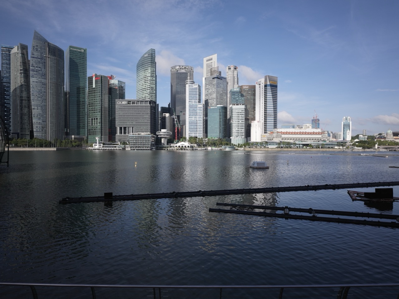
Things to do in Singapore | Cecil Street. Walk one of the CBD’s classic office corridors, connect Telok Ayer to Raffles Place, study conserved institutional buildings beside modern towers, trace the street’s growth across reclaimed land and use Cecil Street to understand how Singapore’s administrative and commercial centre expanded seaward from the old town.
Cecil Street looks like a straightforward business street.
Its real story is expansion.
The old town sat farther inland.
Reclamation created more commercial land.
Banks, offices and institutions moved into that new space.
The modern CBD grew outward from a much smaller historic core.
- Walk from Telok Ayer toward Raffles Place.
- Study the transition from conserved low-rise buildings to office towers.
- Use Cecil Street MRT and nearby stations as the modern transport layer.
- Compare street-level public space between older and newer office buildings.
- Walk toward Robinson Road and Shenton Way.
- Use the corridor to understand how reclamation created room for Singapore’s financial district.
- Return after office hours to see which buildings and public spaces stay active.
Read: Things to do in Singapore | Telok Ayer
Read: Things to do in Singapore | Raffles Place
Read: Things to do in Singapore | Robinson Road
Start With the Big Idea: Cecil Street Is Reclaimed-City Infrastructure
The southern edge of early Singapore expanded through major reclamation works during the nineteenth century.
Those projects pushed the shoreline outward and created the land on which much of the later commercial district developed.
Cecil Street belongs to that expansion.
The financial city could grow because the coastline moved.
Use the Street to Reconstruct the Old Shoreline
Walk inland toward Telok Ayer and the street scale changes.
Religious monuments and shophouses mark the old waterfront district.
Walk seaward toward Robinson Road and Raffles Quay and the city becomes taller and more corporate.
That spatial sequence is reclamation history made visible.
Compare Older and Newer Office Buildings
Cecil Street contains several generations of commercial architecture.
Look especially at the ground floor.
- older towers often prioritise lobbies and vehicle access;
- newer developments increasingly add sheltered walkways;
- food and retail become more integrated;
- public plazas and through-block links are more common.
Office architecture has gradually learned to contribute more to street life.
Use Cecil Street MRT to Understand Modern CBD Access
Cecil Street station on the Thomson–East Coast Line strengthens the southern CBD’s rail network.
The district no longer depends only on Raffles Place and Tanjong Pagar.
Additional stations distribute passenger flows and make redevelopment around older office sites more practical.
Transport capacity supports land-use intensity.
Walk Toward Telok Ayer
The Telok Ayer conservation area gives Cecil Street historical context.
Without Telok Ayer, the office towers can feel detached from the earlier city.
Walk only a few minutes and the older migrant waterfront reappears through temples, mosques and shophouses.
Continue nearby: Things to do in Singapore | Telok Ayer
Walk Toward Raffles Place
Northward, Cecil Street connects into Singapore’s symbolic financial centre.
The route demonstrates how the CBD is not one plaza but a network of streets feeding office, banking and transport nodes.
Continue nearby: Things to do in Singapore | Raffles Place
Walk Toward Robinson Road
Robinson Road runs close by and extends the reclaimed commercial corridor southward.
The two streets work as paired office spines and are best understood together.
Continue nearby: Things to do in Singapore | Robinson Road
Use Cecil Street to Teach Land Value
Central land is valuable because many networks overlap.
- jobs;
- MRT;
- food;
- banking;
- government institutions;
- regional transport links.
Reclamation did not merely create land.
It created land next to an already successful city centre.
That location made it unusually valuable.
A Simple Cecil Street Half-Day Plan
- Morning: begin at Telok Ayer or Cecil Street MRT.
- Walk north along Cecil Street.
- Architecture stop: compare several generations of office towers.
- History stop: detour into Telok Ayer.
- Continue toward Raffles Place.
- Finish through Robinson Road or Shenton Way.
Cecil Street Through the eduKate Ecosystem
Things to do in Singapore | Telok Ayer
Things to do in Singapore | Raffles Place
Things to do in Singapore | Robinson Road
Things to do in Singapore | Shenton Way
Frequently Asked Questions
What is Cecil Street known for?
It is one of the Central Business District’s major office corridors, linking Telok Ayer, Raffles Place and the southern downtown.
Why is it historically important?
It forms part of the commercial district that expanded across reclaimed land in front of the old Telok Ayer shoreline.
Is Cecil Street good for children?
Yes for older children interested in planning, reclamation and skyscraper architecture, especially when combined with Telok Ayer.
What is the main learning idea?
Expansion. Cecil Street shows how Singapore created additional central-city land and extended its commercial core outward from the historic shoreline.
Things to do in Singapore | Cecil Street
Cecil Street is where the city moved seaward.
The shoreline shifted.
Offices followed.
Rail arrived.
The business district became larger than the old town that created it.