
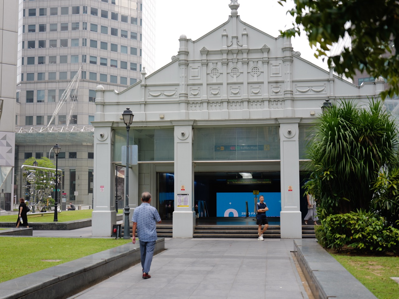
Why study History when a train ride feels like an ordinary part of life? Because everyday travel is the outcome of long-term choices about land, technology, public investment and the way people organise cities. Singapore’s MRT did not appear overnight, and its familiar station maps are not a record of how every family travelled in the past. They are the current form of a network that was debated, planned, built and expanded across generations.
On 7 November 1987, the first five MRT stations opened between Yio Chu Kang and Toa Payoh. Further sections followed, and the original system was completed in 1990. This timeline is documented by the Land Transport Authority, the National Heritage Board and contemporary operators. Yet simply knowing those dates cannot tell us what a particular schoolchild’s journey was like, why planners chose an alignment or how shops adapted to a nearby station.
Studying History teaches students to turn a familiar route into a proper inquiry. They learn to distinguish a transport plan from an operating line, a journey that was technically possible from one that was actually convenient, and a citywide infrastructure achievement from the experiences of particular communities. This creates stronger historical reasoning and helps students read the changing city with care.
Quick guide
- The answer in one minute: transport is a record of decisions
- The five stations of 7 November 1987 provide an anchor
- Opening, official launch and system completion have different dates
- What transport History can teach about public investment
- A four-week method for improving Secondary History through MRT research
- FAQ: Was the MRT launched in 1987 or 1988?
- Verified sources and connected eduKateSG reading
The answer in one minute: transport is a record of decisions
When students take a train, they use infrastructure whose construction depends on multiple earlier decisions. Public agencies select routes and stations, engineers design and build systems, businesses and residents respond, and the network changes as other lines connect to it.
History asks how the decisions unfolded, why alternatives were considered and what evidence shows about the effects. A station opening date can be verified; a claim that it improved every passenger’s life requires much broader evidence.
The discipline trains a student to describe the past in layers. Infrastructure is a physical layer, a policy is an institutional layer, and daily commuting is a social layer. They are connected, but they are not the same kind of evidence.
This is why the history of transport matters beyond a geography lesson. It explains how ordinary routines are made and remade.
The first question is not when, but why
A memorised date tells us when the first section opened, but the historical enquiry concerns the problem planners were trying to solve. What pressures were created by a growing population, congestion and the location of homes and jobs? What alternatives could authorities pursue?
The National Heritage Board’s Mass Rapid Transit history describes the early planning and reasons rail was considered useful for Singapore’s development.
Students should not infer that a rail network was inevitable. A growing city might consider road expansion, bus improvements, rail or various combinations. Evaluating an actual historical decision requires the relevant conditions and records.
A sound explanation names the problem, the proposed response, the constraints and the eventual choice, without turning the eventual outcome into proof that every alternative was foolish.
Do not confuse the first proposal with the first passenger train
Transport histories often mention feasibility studies, decisions, construction and opening as though they happened together. A useful timeline keeps them separate.
The LTA’s historical account of rail planning describes discussions and forecasts from the 1960s and the extended path to a functioning system.
A planning study establishes that an option was being investigated. A decision to build establishes a public commitment. Construction photographs show work in progress. Only a verified commencement date establishes when passenger service was introduced.
Students who understand these distinctions become better at reading announcements of current projects. A proposed line, a line being built and a line carrying passengers are not interchangeable facts.
The five stations of 7 November 1987 provide an anchor
The earliest passenger section opened from Yio Chu Kang through Ang Mo Kio, Bishan and Braddell to Toa Payoh. The Land Transport Authority confirms that the North–South Line began with five stations in 1987.
A student can map these locations and ask what areas they connected. The map can establish geography but not the number of people who actually switched from buses or cars on the first week.
It would also be wrong to describe the opening as completion of the whole MRT. Other sections and lines were still developing.
Accurate historical writing uses the event’s date and extent together. The claim becomes small enough to verify and useful enough to explain.
Opening, official launch and system completion have different dates
The first trains carried passengers in November 1987. The MRT system had an official launch on 12 March 1988, and the initial system was completed in 1990.
The SG101 history distinguishes the first operation from the later official opening ceremony. The National Heritage Board explains the sequence of network expansion.
This is a practical exercise in chronology. A ceremony is not the first operation, and first operation is not complete network coverage. If a student writes “Singapore’s MRT opened in 1988,” the statement needs clarification about which opening is meant.
The same distinction matters in school reforms, new hospitals, public housing developments and infrastructure projects. Dates become explanatory only when their events are properly defined.
A rail network is built in stages, not as one object
The earliest MRT network expanded through sections of what became the North–South and East–West Lines. Building in stages lets planners put some capacity into service while other works continue.
A historical account should identify actual stages rather than assume all routes shown on a modern map were always available. The original system was not the same as the much wider network that developed later.
A simple source activity is to compare two historically dated network diagrams. Students mark only the routes that existed on each date and note where the evidence shows subsequent extensions.
The result is a disciplined description of change. Students also learn that a citywide map is a snapshot of a system at a particular moment, not a timeless representation of Singapore.
Maps make possible routes visible but not actual journeys
An MRT network map can show station connections and interchanges. It does not reveal where a particular commuter lived, which route they took or whether they travelled by bus for part of the journey.
To investigate an actual commute, students need personal accounts or appropriately designed passenger data. A family member’s recollection may show one experience; it does not establish a population-wide pattern.
This is a key historical method: distinguish a possibility created by infrastructure from behaviour demonstrated by evidence. A train route can make an area reachable without proving that everyone wanted or could afford to travel there.
The same caution applies to roads, trade routes and school catchments.
Why the location of stations matters to urban History
Stations connect physical locations to decisions about access. A station near homes, workplaces or a town centre creates different possible journeys from a station serving a less developed area.
Students can study a documented route choice using planning accounts, historic land-use maps and dated photographs. They should avoid inventing the reasons for a particular alignment just because a map looks sensible today.
A historical explanation may identify urban constraints, engineering considerations and intended passenger demand where records describe them. It should also acknowledge competing land-use interests that are not apparent on a modern line diagram.
This approach makes Geography and History complementary: one shows spatial relationships and the other explains how planners chose to alter them.
The history of the MRT also includes the history of buses
Rail did not eliminate the need for buses. Passengers often rely on an interchange or local bus to reach a station, and buses can serve places outside a rail corridor.
The broad public-transport system therefore changed through networks rather than one technology simply replacing another. Research into a commuter’s journey should include walking distance, transfers and the services available during the period studied.
A student who compares an old bus map with an early MRT map may generate hypotheses about how journeys changed. Those hypotheses still need actual records if the essay makes claims about time savings or patronage.
The educational lesson is that complementary infrastructure can matter as much as the headline innovation.
The first passenger experience belongs to social History
Official accounts describe large crowds eager to try the new MRT when the first five stations opened. Such records can establish public curiosity around an inauguration.
But a photograph of first-day visitors does not automatically show how passengers felt months later or whether every commuter used the train. A historic celebration is a distinctive social occasion.
Students could compare dated news reports with a later interview from a regular passenger. The first reveals contemporary public reporting; the second provides a remembered routine, subject to the usual limits of memory.
This demonstrates how a national infrastructure milestone and the lived history of a particular person can be connected without confusing their evidentiary reach.
A historic photograph of a station is not a passenger survey
A photograph can document the design, signage, clothing or visible crowd at a certain time and place. The photographer’s angle, date and selection determine what is shown.
An image of a busy platform does not prove the whole network was overcrowded. Nor does a quiet platform prove that few people used the system throughout that day.
For a visual-source question, students should record observations first. They then identify claims requiring independent data, such as ridership figures, travel patterns or service intervals.
This practice builds source discipline and helps learners avoid the same mistakes when reading modern viral transit photographs.
What a fare ticket can and cannot tell us
An old ticket or fare card may identify a payment method, design, price or service information from a particular period. It can be useful evidence for the history of daily transactions.
But a ticket does not tell us whether the fare was affordable to every household, whether a passenger changed trains or how much the journey cost relative to income.
To evaluate affordability, a researcher would need the correct fare rules and contemporary earnings or household spending evidence. Replacing that work with nostalgia produces weak History.
Material objects can make the past tangible, but their meaning still depends on context and corroboration.
Why new stations can change the geography of shops
A station can make a location attractive for businesses, but it does not cause every shop near it to succeed. Commercial changes depend on rents, customer demand, land use and competition.
A researcher can compare directories and dated photographs before and after an opening to identify actual business changes. It would be premature to assert that the rail station caused every recorded change without further evidence.
Students should specify whether they are studying retail type, number of outlets, foot traffic or customer experiences. Each requires different records.
This is a useful lesson in causation: the presence of a new transport connection may be consistent with a commercial development, but the mechanism should be investigated rather than merely drawn as an arrow.
Residential development and transport are interconnected
Homes, jobs and transport routes influence one another over time. A growing residential area may create demand for travel services, while improved access can later affect decisions about where people live.
The relationship is not always one-way. A station’s opening date might follow years of housing construction, so the historian must not treat the station as the original cause of the neighbourhood’s existence.
Students can build a timeline with verified housing and transport milestones and label possible links separately. Solid arrows require evidence; tentative relationships should remain hypotheses.
This helps learners see a city as an evolving system without converting simultaneity into proof of causation.
The MRT creates opportunities for learning, not guaranteed results
Families may consider travel accessibility when choosing activities, enrichment or schools. A new transport route can change possible journeys.
Yet a line opening does not establish that every child attended a different school or achieved better grades. Those claims require evidence about actual decisions and educational outcomes.
A small student project could compare travel options to a public library during two periods using dated timetables. The task is to identify feasible routes and then note that personal usage remains unknown.
This is an especially good reason to study History in school: learners see how an infrastructure decision can influence the conditions of education without claiming that travel technology automatically produces academic achievement.
Why maintenance belongs in transport History
Rail networks do not function solely because tracks were constructed. They need signalling, electricity, staff, inspection, repairs and operational planning.
A history built only around openings hides the continuing work that keeps services running. Students can examine official engineering and operator reports for evidence of system upgrades and maintenance, while distinguishing targets from measured results.
They should not infer that an older network never required maintenance or that every disruption has a single cause. Technical explanations need qualified source material.
The historical benefit is attention to less visible institutions and people. Infrastructure is a continuing public service, not just a ribbon-cutting ceremony.
Subsequent rail systems show that 1987 was a beginning
After the original MRT system, Singapore developed extensions and additional lines. The operator’s published milestones record the Woodlands extension in 1996 and the start of Bukit Panjang LRT passenger service in 1999, among other developments.
These milestones demonstrate different phases of rail planning. A light rail system and heavy MRT line have different characteristics, and their histories should not be treated as one uniform technology.
Students can place such dates on a timeline and ask which areas became connected in each phase. They should avoid claiming that later services were part of the original five-station 1987 opening.
The exercise builds change-and-continuity reasoning: expansion of rail-based travel across a changing urban landscape.
A network’s present size cannot be used as its historic size
Search results and transport pages often describe the number of stations or kilometres in operation today. Those figures are not accurate descriptions of the network in 1987, 1990 or 2000.
If a student wants to compare network size over time, they should select official statistics with clear reference dates and definitions. MRT and LRT stations may be counted separately or together, and interchanges may complicate summaries.
A valid comparison also checks what “route length” and “track length” mean, rather than assuming every source uses the same measure.
Historical data literacy requires that each number carry its own date and definition. A single unlabeled total may be precise but historically misleading.
The opening date is not a promise of equal accessibility
Some people may face barriers that do not disappear when a train line opens: distance from a station, stair access, mobility needs, time constraints or difficulty reading route information.
Students should use contemporary design records and accessibility histories to investigate how transport facilities responded to changing expectations. They should not project current standards backwards to every original station.
A clear distinction is necessary between the existence of a service and the practical ability of different people to use it.
History enables a more inclusive view of infrastructure by asking who could access a system at each point in its development, rather than assuming that the map tells the whole story.
Old route maps and present route maps answer different questions
A historical route map can show what its issuer intended to communicate about available services. A modern map shows another period’s network and design priorities.
Comparing them can reveal new connections and different names, but students need to ensure both maps depict operational service rather than proposals. A future extension drawn with a dashed line is not automatically part of the current railway.
A good task is to annotate each image with publisher, date and legend before identifying differences.
The student then writes a limited conclusion about documented network change. They should not add claims about ridership or neighbourhood prosperity that the maps cannot independently establish.
A place can change its function without moving
A transport interchange, station entrance or adjacent commercial building may remain in the same location while passenger flows and surrounding activities change.
This is continuity of place alongside change of use. An old station photograph can provide a visual anchor, but research into later use needs appropriate evidence.
Students can investigate one location through archival images, dated street directories and planning documents. The output should separate what physically changed from what people did there.
The skill is transferable to the histories of libraries, markets, factories and conserved buildings. Places carry several temporal layers that should not be compressed into one story.
What transport History can teach about public investment
Building a large rail network involves decisions over resources that could also be used for other public priorities. The relevant choices need to be reconstructed in the context of a particular period.
A planning report may contain forecasts and justifications. A subsequent operational review may evaluate results. The two sources answer different questions because one was produced before the outcome and the other after it.
Students should not describe a completed project as proof that its planners knew exactly what would happen. Historical analysis recovers uncertainty and alternatives without treating all decisions as equally sound.
The payoff is better civic reasoning: public investments can be evaluated with dated evidence rather than assumed success or failure.
Historical analogies about transport should be used carefully
A city might use an earlier rail expansion to ask questions about a new proposed line. What predicted demand was relevant? How did land use change? Which supporting services mattered?
But the current project may involve different technology, population patterns, costs and planning rules. An earlier success does not establish an identical future result.
History supplies a checklist of questions, not a formula for forecasting. The student should identify the mechanism that seems comparable and the conditions that differ.
This disciplined use of analogy is one of the strongest ways History helps readers think about change without turning the past into an instruction manual.
The first classroom exercise: five stations, four claims
Provide an official source identifying the November 1987 opening and a contemporary route map. Ask learners to evaluate four statements: the first section had five stations; the whole network was complete; everyone could reach the airport by MRT; and buses ceased being important.
Only the first statement follows directly from the given evidence. The others require different sources or are inconsistent with the historic network’s limited extent.
Students should mark what can be verified and explain why a modern map cannot be substituted for an original one.
The task trains careful reading without overwhelming the child with dozens of unrelated dates.
The second exercise: distinguish a planned route from an operating service
Give students a hypothetical transport plan that shows a proposed line and an independently dated official opening notice for one segment. Label the hypothetical plan clearly if it has been created for teaching.
Ask what existed at each date, which station names were proposed and whether any parts were postponed or revised.
The learner should write two sentences about intentions and two about actual operations, carefully separating the two.
The lesson applies to all histories of public projects: a plan is evidence of intent, while an operating system must be established through later records.
The third exercise: a family’s journey as oral History
Invite a willing adult to describe a commute during a particular decade. Record the date of the conversation, the time period being remembered and the exact route described.
Next compare the recollection with historic network maps and available bus information. A difference may reflect imperfect memory, a changed route or a misunderstanding of the location. The student should investigate rather than accuse.
The resulting paragraph can explain one person’s remembered journey and which parts can be independently verified. It cannot establish how the whole population commuted.
This project adds human experience to institutional transport history while practising ethical interviewing and source limits.
A four-week method for improving Secondary History through MRT research
Week one builds chronological control. The learner identifies the first five-station opening, the official launch and the initial network’s later completion, explaining why these are different events.
Week two evaluates source types. Students compare a route map, a planning account and an oral recollection, identifying what each can establish.
Week three focuses on causes and consequences. Learners distinguish why a route was proposed from what actually happened after opening, avoiding unsupported claims about all households.
Week four tests transfer using an unfamiliar transport development. The student writes a sourced explanation, identifies one continuity and one change, and states a meaningful evidence limit.
Improvement is demonstrated when a learner can reason from new documents without relying on a memorised story about progress.
Six common mistakes in transport History
First, treating 1987 as completion of the entire MRT network. Correct this with staged opening dates. Second, confusing the first passenger service with a later official ceremony. Identify the event attached to each date.
Third, using a modern map to describe an older journey. Find a dated historical map. Fourth, assuming a railway station made every nearby business successful. Seek actual business and patronage evidence.
Fifth, treating one commuter’s memory as a national survey. Keep its personal scope. Sixth, using the presence of tracks as proof of measured travel-time savings. Obtain comparable journey evidence.
These corrections turn a simple infrastructure story into an accurate historical argument.
Questions parents can ask without turning travel into homework pressure
During an ordinary train ride, parents can ask when the line first opened and whether the station existed when a grandparent was a child. If the answer is uncertain, that is an invitation to consult an official history.
At home, compare two dated network maps and identify one new connection. Ask which conclusion the maps support and what would require additional records.
A ten-minute investigation is often sufficient to build curiosity and evidence skills. It is more valuable than making broad claims that children today have it easier because trains exist.
The aim is a child who understands how to ask and check a historical question independently.
FAQ: Was the MRT launched in 1987 or 1988?
Both years refer to different milestones. Passenger service began on the first five-station section on 7 November 1987. The official system launch followed on 12 March 1988.
A clear History answer names the event as well as the date. Neither milestone should be described as completion of the full original system.
FAQ: Did the MRT replace all buses?
No. Rail and bus services have complementary roles in Singapore’s public-transport system. The historical balance among them changed as routes and networks developed.
A claim about a particular bus route being replaced or reorganised requires dated operational evidence, not a general inference from the opening of an MRT station.
FAQ: Why is transport history relevant to a child studying History?
It provides practical examples of chronology, planning, causation, change and continuity. Students can use maps, announcements, photographs and testimony as different kinds of historical evidence.
The familiar topic helps learners practise abstract skills on a real system they encounter in everyday life.
FAQ: Can a route map prove a family’s travel became easier?
A route map can establish available connections at a documented date. Ease of travel depends on where the family began and ended its journey, service schedules, transfers, costs and personal needs.
Historical inquiry requires additional evidence for a claim about actual convenience. A feasible route and a documented lived experience are different things.
Verified sources and connected eduKateSG reading
Begin with the Land Transport Authority’s North–South Line history, the National Heritage Board’s MRT account and SG101’s dated first-station account. For subsequent milestones, consult the SMRT operations-history milestones.
Within eduKateSG, continue with why societies change, the built environment as evidence, and how to check sources before accepting a story. The SEC History parent guide explains how historical enquiry connects to school study. Related reading in this series explores the history of library access and community memory around sports venues.
The enduring lesson is simple: a railway makes routes physically possible, while History helps us establish who chose them, how they developed and what the evidence can honestly tell us about people’s lives.