
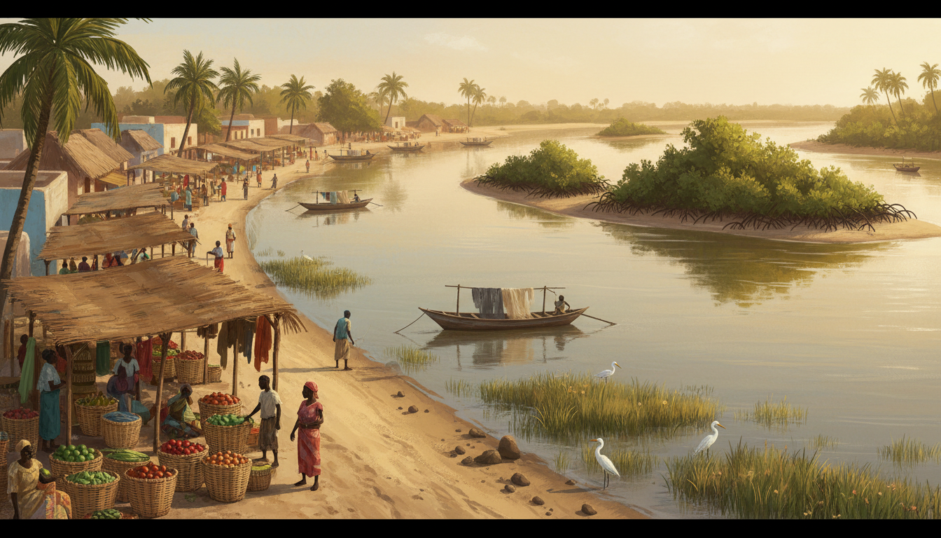
Why is The Gambia such a narrow country? Its modern boundaries follow a long corridor on both sides of the River Gambia. The shape reflects the river’s commercial importance and nineteenth-century agreements between Britain and France, the colonial powers controlling The Gambia and neighbouring Senegal. The borders were principally defined by an 1889 Anglo-French convention and later demarcation, not by a natural mountain range. A scholarly Cambridge history of The Gambia documents that process.
Where is The Gambia? It lies on the Atlantic coast of West Africa, surrounded by Senegal to the north, east and south. The Gambia River runs east-to-west through the country and into the Atlantic. The land’s striking outline is therefore both a geographical feature and a consequence of political history.
This article explains how a narrow country works in everyday life: trade, a capital by the river mouth, ferry crossings, road links, agricultural areas and relationships with Senegal. It expands How The Gambia Works | Government, River Transport and Daily Life.
The Gambia’s river-shaped map at a glance
| Question | Quick answer |
|---|---|
| Why is the country narrow? | Historic British and French territorial negotiation produced a river-centred strip. |
| Which countries surround it? | Senegal on three land sides, with the Atlantic Ocean to the west. |
| When were key boundaries agreed? | 1889, followed by demarcation and later adjustments. |
| Is the country just the river? | No. It includes communities and land on both banks, towns, roads and agricultural areas. |
| Where is the capital? | Banjul, by the river mouth on the Atlantic side. |
| What is the Banjul–Barra crossing? | An important ferry connection linking Banjul with the north bank. |
| Is there a road bridge farther inland? | The Senegambia/Trans-Gambia bridge is an important river crossing. |
| Was the border drawn by a cannonball’s range? | This popular story is oversimplified and lacks solid evidence as a literal surveyed border formula. |
1. How long and narrow is The Gambia?
The country’s territory extends hundreds of kilometres inland from the Atlantic along the river. Cambridge University Press’s political history describes a corridor roughly 470 kilometres long with a narrower interior and a broader coastal end.
Exact length and width depend on how the area is measured. A country whose boundary follows a meandering river cannot be understood from one rectangular length multiplied by one fixed width. That simplification may help a beginner picture it, but it is not a surveyed area calculation.
In Geography, use a map that includes the river, coast and Senegal. Ask why the international borders often remain fairly close to the river despite the bends in its course.
2. Why was the Gambia River so important?
The river connected Atlantic ships and coastal trading points with inland communities and markets. Its navigability made it important to merchants and political authorities long before modern roads and national borders.
UNESCO describes the river and Kunta Kinteh Island and Related Sites as evidence of centuries of African-European encounters, including commerce and the history of the transatlantic slave trade. The waterway’s historical importance cannot be reduced to modern passenger ferries.
The river is also part of a living ecological and economic landscape. Settlements, farming, transport and environments along the banks have to respond to its channels and seasonal conditions.
3. Who drew The Gambia’s borders?
The territorial framework followed competition between Britain, which controlled strategic positions along the lower river, and France, whose colony of Senegal surrounded them. Their 1889 convention was followed by boundary surveys through the 1890s and into the early 1900s. Cambridge’s history gives the colonial context and records later changes.
Those decisions were made in a colonial setting involving outside powers, not by a free vote of all the communities whose lands were being divided. That matters when interpreting the map. It would be misleading to suggest the whole shape emerged naturally from the banks of the river.
A better historical question asks whose economic and political interests were represented in boundary agreements and how the resulting territory affected people already living and trading there.
4. Is the ‘cannon shot’ story true?
A widely repeated story says British gunboats simply fired cannonballs from the river and drew the national boundary wherever the shells landed. It is a memorable image, but the documented history rests on negotiated Anglo-French boundary agreements and surveys. Scholarly work describes the convention and demarcation rather than a uniform cannon-shot map-making method.
A cannon range would vary with equipment, location and terrain, and it would not on its own produce the complicated national boundary seen on modern maps. The appropriate answer is that this is a popular shorthand for a narrow colonial river corridor, not an established surveying procedure.
When a story about geography sounds unusually theatrical, ask for the treaty, map, survey record or contemporary document that supports the precise claim. A vivid explanation is not always the most accurate.
5. Why does Senegal surround the country?
France controlled Senegal during the colonial period, while Britain retained the Gambia River territory. As these possessions developed into independent states, the old boundary created a small country almost enclosed by Senegal except at the Atlantic coast.
The result is a special transportation geography. Road journeys between northern and southern Senegal may pass through The Gambia, while Gambian communities on opposite riverbanks need reliable crossings.
A map makes that clear: Senegal is not merely a country next door. It is the land neighbour along nearly the entire Gambian boundary, and the Gambian river corridor separates parts of Senegal from one another.
6. Why is Banjul at the river mouth?
Banjul’s location near the Atlantic entrance to the river gave it a strong historical connection with shipping, trade and administration. It is the country’s capital, while other important urban communities and population centres exist in the wider coastal region.
UNESCO’s description of Kunta Kinteh Island shows how control of the waterway and the entrance toward the interior shaped historical settlement and fortification.
A capital placed by an important port can have administrative and trade advantages. But transport between that capital and communities on the opposite bank still requires a bridge, ferry or alternative road route.
7. What is the Banjul–Barra ferry?
The Banjul–Barra crossing links the capital with the north bank of the River Gambia. The Gambia Ports Authority identifies it as a major passenger and goods ferry service and discusses continuing investment in vessels and terminals.
Ferries can carry people, vehicles and goods, but the actual service is affected by vessel availability, operating conditions, queues and maintenance. A route that exists on a map is not a guarantee of a specific sailing at a given hour.
Before planning a time-sensitive trip, check the ferry operator’s current service information and prepare for disruptions. Do not copy an old travel review’s waiting time or fare into a live transport promise.
8. Why does a ferry matter to an entire economy?
A ferry is not just a boat. It is part of a chain connecting agricultural goods, commuters, traders, vehicles, public employees, healthcare services and the port.
Imagine a produce seller trying to reach a market across the river. The journey depends on road access to the terminal, a vessel operating, loading, crossing, unloading and another road. If the ferry is unavailable, the entire journey changes even if both roads are in good condition.
Transport therefore has two relevant measures: average trip time when everything works and how often the route can be relied upon. A service can be fast on an ideal day yet costly for users when delays are unpredictable.
9. What is the Trans-Gambia or Senegambia bridge?
The Senegambia Bridge, also known as the Trans-Gambia Bridge, creates a road connection across the river farther inland. It is strategically important for Gambian movements and for regional transport between parts of Senegal.
The bridge is a separate crossing from the Banjul–Barra ferry. A traveller should not assume the distance between those crossings is trivial. Which route makes sense depends on the point of origin, destination, vehicle and current conditions.
The Gambia Ports Authority notes the Trans-Gambia route’s importance for northern and southern Senegal and the wider West African road network.
10. Why doesn’t the bridge make ferries unnecessary?
A bridge can replace some river-crossing trips, but not every journey originates and ends at the same points. The Banjul–Barra ferry serves the mouth-of-river area, while the inland bridge serves a different travel corridor.
If one crossing were the only one needed for the whole country, both north- and south-bank communities would have to reach it regardless of distance. Geography and demand make a network of crossing options useful.
A robust transport strategy asks not just whether a bridge exists, but whether roads, crossings, maintenance and alternative routes connect the people who need them.
11. Why does the river matter to farming?
The river and its floodplain help shape land use, access to water and the location of settlements. Agricultural livelihoods along the corridor depend on rainfall, land conditions, water suitability and transport to markets.
A wet floodplain can be agriculturally useful, yet can also complicate road construction and housing in vulnerable areas. Neither benefit nor risk describes every part of the country identically.
Suppose a farmer can produce a crop but cannot transport it reliably to a buyer. Improving the harvest may help, but it will not solve the missing market connection. Geography and infrastructure both influence what farming earns.
12. How did river trade connect with slavery and colonial rule?
It is important to describe the history honestly. The river supported commerce and African-European exchange, but European fortifications and trading posts also became involved in the transatlantic slave trade. The UNESCO listing for Kunta Kinteh Island and Related Sites explicitly documents that history and the later attempts to suppress slave trading.
UNESCO explains that some structures supported slave trading while others, including Fort Bullen and the Six-Gun Battery, were built as part of efforts to stop it after the British abolition of the trade.
Those are different historical roles. Treating every fort as either solely a heroic abolition site or solely a trading station without checking its period can erase the complexity of the evidence.
13. Why did the country retain its unusual shape after independence?
The Gambia became independent in 1965. The new state inherited territorial boundaries developed under colonial rule. Geographic shape alone does not determine a country’s right to exist or the legitimacy of its citizens’ national identity.
The Gambia and Senegal formed the Senegambia Confederation between 1982 and 1989, but it did not permanently merge the two countries. A historical effort at cooperation is not the same as today’s national boundary.
When learning about a country’s independence, distinguish the moment of sovereignty from the earlier history of its borders, languages, communities and economic ties.
14. A simple crossing-time exercise
Imagine the ferry crossing itself takes a hypothetical 30 minutes. A traveller spends 20 minutes getting to the terminal, 50 minutes waiting, 30 minutes onboard and 15 minutes reaching the final destination. The door-to-door time is 115 minutes.
If the wait increases by 40 minutes, the whole journey becomes 155 minutes even though the boat’s crossing speed does not change. These are made-up numbers for Mathematics, not a real ferry timetable.
This shows why transport planners measure queues, reliability and connections rather than only the time a vehicle spends moving.
15. How should we compare The Gambia with another country?
The Gambia’s long river corridor and close relationship with Senegal differ from Singapore’s compact island-city geography. Yet both settings show that ports, crossings, governance and logistics shape everyday life. Explore the How Singapore Works sibling collection for that different case.
Good comparisons ask why a network has its particular shape, who maintains it and what happens when one link fails. Maps explain where a journey might run; institutions explain whether people can rely on it.
Frequently asked questions
Why is The Gambia so thin?
The modern boundary follows a narrow British-controlled river territory negotiated with French-controlled Senegal during the colonial period.
Was The Gambia drawn by British cannonballs?
The claim is a popular story rather than a reliable account of how the border was legally agreed and surveyed. The 1889 Anglo-French convention is the central documented event.
Is The Gambia surrounded by Senegal?
Senegal borders it on the north, east and south; the Atlantic Ocean lies to the west.
Why is the river so important to The Gambia?
It connects the coast and inland communities, shaped historic trade and colonial settlement, and remains important for transport and livelihoods.
Where is Banjul?
Banjul is the capital near the river’s Atlantic mouth, on the southern side of the estuary.
Can you cross the river by ferry?
Yes. Banjul–Barra is an important service, but real-time operations, timings and prices need to be checked with the operator.
Is there a bridge over the Gambia River?
Yes. The Trans-Gambia/Senegambia Bridge provides a different road crossing farther inland.
Did The Gambia become independent with its current shape?
It became independent in 1965 and inherited a territory shaped primarily by earlier colonial boundary arrangements.
Was Kunta Kinteh Island involved in the slave trade?
Yes. UNESCO documents the site’s importance to African-European encounters and the transatlantic slave trade, along with later anti-slave-trade fortifications.
Sources and further reading
- Cambridge University Press — Political History of The Gambia, geographical and colonial boundary history
- UNESCO — Kunta Kinteh Island and Related Sites
- Gambia Ports Authority — Gambia Ferry Service Company
- Gambia Ferry Services — current service information
- Cambridge University Press — A Political History of The Gambia, 1816–1994
- Nations Online — The Gambia geography and history