
Did you know that on much of the Bukit Timah corridor, the road taking you out of town is not the same road bringing you back? The familiar parallel routes of Bukit Timah Road and Dunearn Road are an everyday lesson in traffic engineering.
People often think of them as two names for one large road. In reality, their paired arrangement affects driving directions, where buses stop, how pedestrians cross and even which side of the corridor a school or shop is on.
The quick answer: along much of the paired corridor, Bukit Timah Road carries traffic westbound towards Upper Bukit Timah while Dunearn Road carries traffic eastbound towards the city. This directional separation helps distribute traffic, but it does not apply unchanged to every adjoining road. Parts of Upper Bukit Timah Road are two-way, including an improved stretch opened in April 2021.
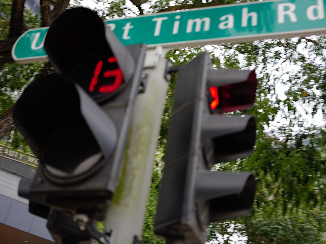
The featured photograph shows a Bukit Timah Road sign and pedestrian crossing. It does not illustrate every part of the two-road system.
Find your answer: Why use two parallel roads rather than one broad road? · Which way does each road go? · How old is this transport corridor? · Why is Bukit Timah Canal part of the road story? · Why do U-turns and junctions matter so much? · How do MRT stations and buses fit in? · A simple exercise for families and students · What should readers remember?
1. Why use two parallel roads rather than one broad road?
Imagine several vehicles all trying to travel both east and west along a busy strip of schools, houses, shops and intersections. Each junction needs to manage turning movements, pedestrians, buses and through traffic. Separating the principal directions into neighbouring roads can help simplify some of those conflicts.
That does not mean a one-way system removes all congestion. A driver may need a permitted turn or U-turn to reach a property on the opposite road, and crossings must still be designed for people travelling on foot.
The engineering principle is network design: it is not enough to maximise the number of lanes. Planners must also consider how vehicles enter, leave, change direction and interact with surrounding neighbourhoods.
2. Which way does each road go?
On the long, familiar paired section, Bukit Timah Road is generally Woodlands-bound or westbound, while Dunearn Road is generally city-bound or eastbound. If you are trying to find a particular bus stop, the name of the road can therefore be an important clue to which direction the bus travels.
Be careful with the boundaries. Roads change configuration near major junctions, and some nearby segments are two-way. In April 2021, a new approximately 400-metre, three-lane city-bound stretch of Upper Bukit Timah Road opened between Jalan Jurong Kechil and Clementi Road. That made that particular section bi-directional rather than uniformly one-way.
A useful rule is to consult signs and an up-to-date route map for the exact section, not to assume the entire length of every road bearing the Bukit Timah name follows one pattern.
3. How old is this transport corridor?
National Heritage Board research describes Bukit Timah Road as one of Singapore’s oldest long roads, dating back to the nineteenth-century expansion of access into the island’s interior. It later became an important arterial route connecting the city with estates, plantations and other settlements.
As traffic grew, the corridor changed. A post-independence Singapore needed to move buses, commercial vehicles and increasing numbers of private cars while still serving schools and housing on both sides.
National Archives materials from the late 1970s already refer to the Bukit Timah One-Way System, showing that this was not a feature invented by the Downtown Line MRT. Over decades the road network has been widened and modified, with junction improvements responding to changing demand.
Transport history here is not one grand opening day. It is a long sequence of additions, repairs and new connections layered onto an older route.
4. Why is Bukit Timah Canal part of the road story?
Parts of the Bukit Timah Canal run through the same transport corridor. The canal helps drain stormwater from a catchment where roads and buildings can send heavy rainfall into drains quickly.
This matters because the road and drainage networks must coexist. Engineers cannot indefinitely widen channels or roads without considering bridges, utilities, buildings and access to the surrounding land.
National Heritage Board accounts describe historical flooding along Bukit Timah Road, especially during heavy rain in earlier decades. Subsequent diversion canals and upgrades reduced risk. PUB’s further improvements to Upper Bukit Timah Canal were completed in October 2026.
Traffic capacity and drainage capacity are different measurements. A road project may help cars move, while a canal project helps stormwater move. The same geography makes both systems essential.
5. Why do U-turns and junctions matter so much?
One-way systems need practical ways to reverse direction. A driver who overshoots a turning point may need to continue to an authorised U-turn rather than simply turning across oncoming traffic.
Improvements at Newton Circus show the practical logic. A new U-turn on Dunearn Road opened in September 2021, allowing drivers to join Woodlands-bound Bukit Timah Road without passing through the busy roundabout. Another U-turn serving the reverse movement had opened in 2019.
These are relatively small interventions compared with a new expressway, yet they can remove turning traffic from a congested junction. That illustrates a powerful planning lesson: some of the most valuable improvements change how vehicles connect between roads rather than creating an entirely new route.
6. How do MRT stations and buses fit in?
The Downtown Line runs through the wider Bukit Timah area, with stations including Tan Kah Kee, Sixth Avenue, King Albert Park and Beauty World. The line opened through this corridor in December 2015, providing another way to reach schools and businesses without driving along every part of the road pair.
Buses remain important because rail stations cannot sit directly outside every home or school. People still need a last-mile connection, a pedestrian crossing and the correct side of the road for boarding.
A neighbourhood can have very good public transport while still feeling confusing to a first-time visitor. A bus stop across a major road, for example, may require a longer but safer marked crossing. Never cut across a one-way carriageway just because the desired building looks close.
7. A simple exercise for families and students
Pick a familiar trip—perhaps home to a library or school along the corridor. Mark the destination and origin on a map. Draw the route in each direction. Are they identical? If not, which junctions, U-turns or bus stops explain the difference?
Then repeat the exercise for a person using MRT and walking. Include the station exit, pavement and safe crossing. Finally, imagine heavy rain: what changes about the route?
This turns a road system into a practical lesson about urban geography, geometry, accessibility and decision-making.
8. What should readers remember?
Did you know that two roads running beside each other can shape where people eat, study, shop and commute? That is what makes the Bukit Timah–Dunearn pair more than a traffic arrangement: it is part of the everyday structure of the district.
- Bukit Timah Road and Dunearn Road act as a one-way pair along much of the main corridor.
- Westbound and eastbound trips may follow different sides of the neighbourhood.
- Not every nearby segment is one-way: Upper Bukit Timah Road includes two-way sections.
- Road and drainage projects must be coordinated because they share limited urban space.
- For real journeys, check current road markings, route maps and safe pedestrian crossings.
Frequently asked questions
Is Bukit Timah Road one-way?
Much of the main paired corridor is one-way westbound, with Dunearn Road carrying city-bound traffic. Exact road configurations vary at junctions and on adjoining sections.
Is Dunearn Road the road towards town?
Along the established paired corridor, Dunearn Road is generally city-bound, while Bukit Timah Road is generally Woodlands-bound.
Is all of Upper Bukit Timah Road one-way?
No. A new approximately 400-metre city-bound carriageway opened near Bukit Timah Plaza in April 2021, making that stretch two-way.
Why are there U-turns near Newton Circus?
They allow drivers to change direction between the paired roads without unnecessarily passing through the congested roundabout.
Do the road pair and Bukit Timah Canal do the same job?
No. The roads carry people and vehicles; the canal conveys stormwater. Their infrastructure has to coexist along the same urban corridor.
Official records and further reading
Use the sources below for historical background and current transport or market information. Venue details and operating arrangements can change.
- National Heritage Board: Bukit Timah community heritage history
- National Library Board: Singapore’s road hierarchy and expressway history
- The Straits Times: Upper Bukit Timah Road two-way section opens, April 2021
- The Straits Times: Newton Circus U-turns and traffic changes, September 2021
- LTA: Downtown Line
Explore how Bukit Timah works
- How the Upper Bukit Timah Canal manages floods
- How schools and MRT stations follow the main road
- How Hume MRT connects homes and history
Continue this series: The next Bukit Timah neighbourhood guide · Another explanation in the series · A related look at local systems