
HOW SINGAPORE EDUCATION WORKS · School orienteering
Find your next learning step
Orient the map first, plan one safe leg at a time, confirm the control code before recording it, and treat the completed card as evidence—not as proof that every route decision was good.
Full chapter index · Practice and checking · Sources and next reading · How Singapore Education Works
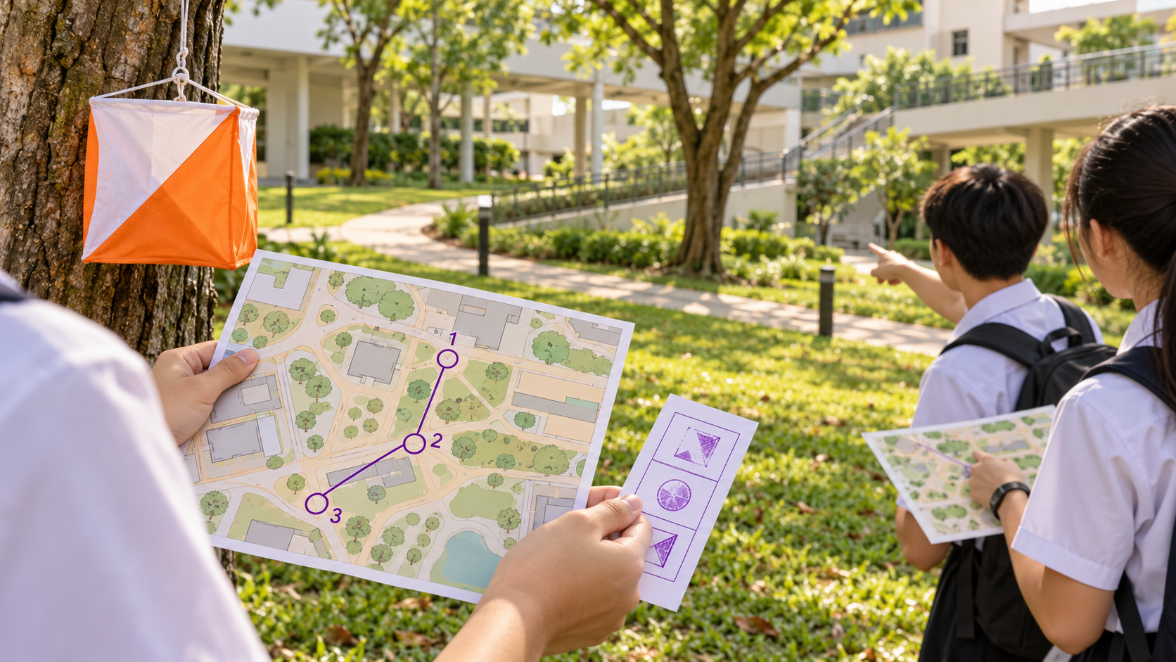
Orienteering combines map reading, movement and decision-making. The learner visits mapped control points, usually in a stated order, while choosing a route between them. Success comes from matching the map to the ground and confirming evidence at each control, not from running in the general direction of another group.
This article is a supervised learning progression, not a competition rulebook. Singapore schools decide how outdoor learning and PE activities are conducted. Follow the teacher’s safety boundary, buddy rules and course instructions. International Orienteering Federation materials provide global conventions, but the actual school exercise may simplify maps, control descriptions and recording methods.
The choices at a glance
| What you notice | Likely issue | Useful next move |
|---|---|---|
| The map is turned while the learner moves | Map direction and ground direction are drifting apart | Stop at a known feature and reorient the map |
| A control is recorded without checking its code | The flag is being treated as sufficient evidence | Match map number, ground code and card box before punching |
| The team follows another group | Route choice has been outsourced | Return to the last confirmed point and plan the next leg |
Full chapter index
Repair and practise
Recall, transfer and questions
A leg runs from one confirmed control to the next. Each leg has a start point, a destination, possible routes and a verification step. Breaking the course into legs prevents one early error from contaminating the whole route.
The map shows symbols rather than a photograph. The ground supplies the real features—path junctions, building corners, fences, vegetation edges or landforms. Navigation works when the learner repeatedly matches these two representations.
At school, pace is secondary to staying inside the marked area, respecting out-of-bounds zones and following supervision. A safe walk with correct evidence is a stronger first performance than an unverified sprint.
Orienting the map means turning it so that mapped directions align with the ground. Use a compass if the course requires one, and also use visible features. A path junction drawn to the right should appear to the right when the map is correctly oriented.
| Decision | Useful evidence | Common trap |
|---|---|---|
| Current position | Last confirmed control plus nearby feature | Starting from where you hoped to be |
| Direction | Oriented map and visible line feature | Holding the map north-up while turning your body |
| Route | Path, boundary or other safe handrail | Choosing a straight line through unclear ground |
| Final approach | Distinct attack point near the control | Searching a wide area without a reset point |
An attack point is a clear nearby feature from which the final approach is simple. For beginners it may be the last path junction before a tree or the corner of a court beside a control.
Assumptions: control 3 is at a sheltered walkway junction. Control 4 is beside the north-east corner of a fenced garden. Route A follows the walkway east for 120 m, turns north along the fence for 60 m and reaches the corner. Route B crosses an open lawn diagonally for about 130 m, then follows the fence for 30 m. The lawn is open and permitted, but a temporary wet patch is marked out of bounds.
A beginner team chooses Route A. It is about 180 m rather than Route B’s roughly 160 m, but it uses continuous line features and avoids the wet area. At the corner, the map says control 4 and the flag code is 37. The team checks 37 before marking box 4.
Checked answer: the longer route is reasonable because it has simpler evidence and respects the temporary boundary. The control card now shows a mark in the correct box, supported by the matching control code. If Route B became unsafe or unclear, its shorter distance would not make it better.
A paper punch, stamp or electronic record shows that the team reached a control device. It does not prove that the team followed a safe route or understood the map. That is why reflection needs both the record and the route explanation.
Before recording, say three things: expected control number, observed code and card box. In a simplified lesson they might be “Control 4, code 37, box 4.” This pause prevents a nearby control from being recorded accidentally.
If the mark is unclear, do not add random extra punches. Follow the teacher’s procedure. In a real event, recording and correction rules depend on the system and competition regulations.
Stop when two consecutive expected features are missing. Continuing faster usually enlarges the error. Return to the last place confirmed by two clues—for example, the correct junction shape and a building corner.
Reorient the map, trace the planned leg with a finger and choose a simpler route. If the safe boundary, time limit or buddy agreement is at risk, use the designated help or return route instead of continuing.
Afterward, mark where certainty was lost. The useful repair is not “pay more attention”; it is a specific change such as choosing a clearer attack point or checking junction count.
Guided walk
- Teacher identifies start, boundary and first control.
- Learners orient the map at every turn.
- Group confirms the code before recording.
Paired course
- Navigator explains one leg; partner checks features.
- Swap roles after each confirmed control.
- Record one route decision and one reset point.
Independent team review
Within the teacher’s rules, the team chooses routes, completes the record and redraws its actual path afterward. It explains one efficient choice and one safer choice.
At the next session, reconstruct the symbol–ground matches before seeing the old route. Then plan a reversed or slightly changed course. Recalling the method is more valuable than memorising one campus path.
Orienteering is practised internationally with shared map and control-description conventions. Terrain, climate and course format vary, but every participant must locate, choose, move and verify.
Changed-context check: repeat the leg in a building-level plan or museum trail. Paths become corridors and controls become exhibits, yet orientation, checkpoints and evidence still apply.
Must the shortest route be best?
No. Surface, climb, visibility, safety and navigation complexity matter. A slightly longer handrail route can be faster and more reliable for a beginner.
Can we follow another team?
That removes the decision-making task and may copy their error. Use your map and the responsible adult’s rules.
What if two flags are close together?
Check the mapped control number and the code on the control. Do not rely on flag colour or another participant.
Does a full control card mean the route was good?
It shows recorded visits. Review the actual path, safety decisions and resets to judge navigation quality.
Sources and next reading
- MOE Singapore — 2024 Physical Education Primary, Secondary and Pre-University Syllabus
- International Orienteering Federation — Orienteering
- International Orienteering Federation — Control Descriptions 2024
Continue inside eduKateSG
- How physical education works in Singapore schools
- School relay baton exchanges
- Kindergarten route building with arrows and landmarks