
Did you know that a neighbourhood shopping centre can become part of a student’s school memories without ever being a school itself? Coronation Plaza is one of those places. People have used it for errands, books, groceries and meeting friends for generations.
At 569 Bukit Timah Road, the building is easy to think of as just another collection of shops. Its background is more interesting: a shopping development from 1979, an older residential estate and a road name linked to a British coronation all overlap on this site.
The quick answer: Coronation Plaza works because it occupies a useful position among established residential streets and educational institutions. It combines shops with apartments, serves repeat local needs, and provides a landmark that many former students remember. The businesses change; the geographical role lasts.
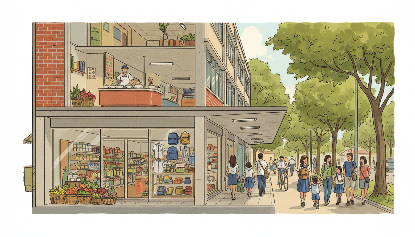
The featured image is an original conceptual illustration inspired by neighbourhood shopping at Coronation Plaza, not a photograph of its current tenants.
Find the answer: Why is it called Coronation Plaza? · What was here before the shopping centre? · Why did teachers and students remember it? · What does the old nickname ‘Silo’ tell us? · How does an ordinary neighbourhood mall keep working? · What does the building reveal about Bukit Timah’s growth? · How can a family use Coronation Plaza to study urban history? · What should readers check before visiting?
1. Why is it called Coronation Plaza?
The name comes from nearby Coronation Road. The National Heritage Board (NHB) explains that this area belonged to an estate owned by Hokkien merchant Choa Lam Tiong during the early twentieth century.
Roads in the area, including Empress Road and King’s Road, were named in 1912 to commemorate the coronation of King George V, which had taken place in 1911. A name that sounds like a shopping brand therefore comes from an earlier moment in the neighbourhood’s colonial history.
This does not mean the shopping centre itself was built for the coronation. Its construction happened decades later. Separating the origin of the road name from the building’s opening date is a simple but important historical habit.
2. What was here before the shopping centre?
NHB records that Coronation Plaza replaced an earlier row of shophouses and was built in 1979. The new development had three floors of shops and twenty apartments on the upper level.
This is an example of a compact mixed-use building: the lower floors are used for commerce, while homes occupy part of the same property. Residents and customers may share a destination without having identical reasons to be there.
When a row of shophouses is replaced, the street changes even if the trading role survives. Shops may move behind new corridors, entrances and stairs; deliveries and parking may be organised differently. A newer building can preserve a neighbourhood function while altering the original physical setting.
That is why ‘the mall has always been there’ is not the same as ‘this site has always had the same buildings’.
3. Why did teachers and students remember it?
The surrounding district contains long-established educational institutions. NHB highlights nearby schools such as Hwa Chong Institution, Nanyang Girls’ High School and National Junior College when explaining the plaza’s significance.
A student’s everyday geography is bigger than the school gate. After lessons, a convenient shopping centre might provide a snack, stationery, a place to buy a book or a meeting point before travelling home. Teachers, parents and residents also use practical services in the same place.
The heritage trail records personal memories involving supermarkets, bookstores, games, banking and school errands. Such accounts are valuable evidence of what a neighbourhood felt like to people who used it; they should not be mistaken for a current tenant directory.
That difference between remembered use and present-day use is important. A bookshop mentioned in a historical recollection need not still be operating in 2026.
4. What does the old nickname ‘Silo’ tell us?
During the 1980s, some people referred to the plaza as ‘Silo’ after the SILO Supermarket, associated with the Singapore Industrial Labour Organisation. NHB preserves this detail in its heritage account.
Nicknames reveal how people make sense of places. Officially the shopping centre had one name; in everyday conversation, a prominent anchor business could become the name people actually used.
You can see a similar pattern in many cities. A bus stop or shopping complex is remembered by the supermarket, cinema or store that once drew the most visitors. Years later, the nickname may survive even when the business has disappeared.
This is a good reminder that maps and memory are two different ways of recording the city.
5. How does an ordinary neighbourhood mall keep working?
A large destination mall may try to attract visitors from across Singapore with major retail brands or entertainment. A smaller neighbourhood complex often serves more repetitive needs: groceries, local services, food, lessons, small specialist purchases or appointments.
Those visits can be combined. Someone might buy food, make an errand and meet another family member without going to a different part of town. That is the advantage of a cluster of practical services.
At the same time, not every merchant benefits equally. Rental costs, changing customer habits, online shopping and competition from newer developments all affect individual businesses. The mall’s historical importance is not a guarantee that each current shop is profitable.
The broader lesson is that urban spaces succeed when their arrangement matches how people actually live, not simply when a building looks new.
6. What does the building reveal about Bukit Timah’s growth?
The plaza’s 1979 date places it within a larger period of suburban commercial growth in Singapore. Homes, schools, public transport, roads and local shopping increasingly developed as connected parts of residential life.
Its twenty apartments also show that residential and commercial uses did not always have to be strictly separated. In a compact city, a mixed-use building may put the services residents need below or near their homes.
Unlike some modern integrated developments, Coronation Plaza predates the Downtown Line. New rail connections in the wider corridor were added much later, changing travel choices around an already established school-and-shopping neighbourhood.
So we should not say the MRT created the plaza’s identity. That identity grew from the surrounding community long before today’s rail map existed.
7. How can a family use Coronation Plaza to study urban history?
Start by looking up an NHB heritage description and compare it with what you can observe from public areas today. Which functions seem to have remained? Which have changed? What does the 1979 layout tell you about shopping before online marketplaces and app-based deliveries?
Next, trace the nearby road names: Coronation Road, King’s Road and Empress Road. Ask which belong to an older historical layer than the shopping centre itself.
Finally, imagine two journeys: a former student in the 1980s going for a book after class, and a family in 2026 making a quick errand. The buildings around them may differ, but their reasons for using a convenient local centre can be surprisingly similar.
8. What should readers check before visiting?
Did you know that what seems like a simple shopping trip can involve almost a century of different decisions about naming, housing, education and commerce? Coronation Plaza is an everyday place where those decisions are still visible.
- Address: 569 Bukit Timah Road, Singapore.
- History: built in 1979, with an earlier row of shophouses on the site.
- Building: three retail floors and twenty apartments described in NHB’s account.
- Current shops: verify each tenant and opening time independently.
- Travel: use current station, bus and pedestrian directions; do not infer the nearest entrance from an old heritage map.
Frequently asked questions
When did Coronation Plaza open?
National Heritage Board records describe Coronation Plaza as a shopping centre built in 1979.
Why is Coronation Plaza called Coronation?
It takes its name from nearby Coronation Road; several roads in the area were named in 1912 after the coronation of King George V in 1911.
Is Coronation Plaza the same as Bukit Timah Plaza?
No. Coronation Plaza is at 569 Bukit Timah Road, while Bukit Timah Plaza is a different mixed-use development at 1 Jalan Anak Bukit.
Why is Coronation Plaza associated with schools?
Its location near long-established educational institutions made it useful to teachers and students for everyday purchases and meeting places.
Official sources and further reading
Historical and ecological facts are grounded in official agency references. Check current directories, trail notices and opening times before visiting.
- National Heritage Board: Bukit Timah Heritage Trail booklet (Coronation Plaza, pp. 68–69)
- National Heritage Board: Bukit Timah Heritage Trail
- Related background: How Bukit Timah Plaza still serves the neighbourhood
Continue the How Bukit Timah Works series
- Why Bukit Timah Plaza still serves its neighbourhood
- Why schools and MRT stations follow Bukit Timah Road
- Why Bukit Timah Road and Dunearn Road run side by side
More from this batch: How Bukit Timah Works | How Singapore Quarry Became a Wildlife Lake · How Bukit Timah Works | How Cluny Court Preserves Its 1928 Shophouses · How Bukit Timah Works | How Evolution Garden Explains 3.5 Billion Years of Life
Earlier neighbourhood guides: bukit timah road dunearn road one way system · beauty world food centre fourth floor hawker heritage · learning forest keppel discovery wetlands · botanic gardens mrt circle downtown interchange